Medium airport · Thailand
Phrae AirportVTCP
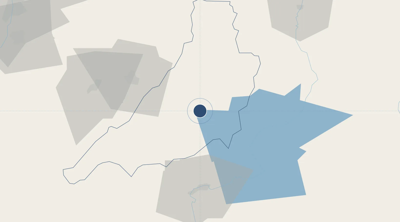
18.1322°, 100.1650°
4,921 ft
Longest runway
1
Runways
538 ft
Elevation
Runway & Layout

Radio Frequencies
ATIS
34 MHz
TWR
118.6 MHz
APP
120.1 MHz
RDO
666.7 MHz
Navaids
PAE VOR-DME Phrae 111.80 MHz
PR NDB Phrae 340 kHz
Runways · 1
| Runway | Dimensions | Surface | True heading | Lit |
|---|---|---|---|---|
| 01/19 | 4,921 × 98ft | Asphalt | 006° | ✓ |
Airport Specifications
IATA code
PRH
ICAO code
VTCP
Airport class
Medium airport
Scheduled service
No
Runway surface
Asphalt
Location
Nearby Logistics Neighbours
Airports
- 1Lampang Airport72 km
- 2Nan Airport100 km
- 3Sukhothai Airport106 km
- 4Lamphun Airport130 km
- 5Chiang Mai International Airport145 km
Cities
- 1Kamphaeng Phet198 km
- 2Phonhong239 km
- 3Chiang Saen Customs House243 km
- 4Vientiane253 km
- 5Vangrieng255 km
Ports
- 1Rangoon451 km
- 2Bangkok489 km
- 3Ko Si Chang Terminal557 km
- 4Si Racha Terminal558 km
- 5Siam Seaport561 km
Trade Zones
DatabookThe Record of Consolidated Knowledge
Thailand beyond logistics?