Medium airport · Thailand
Nan AirportVTCN
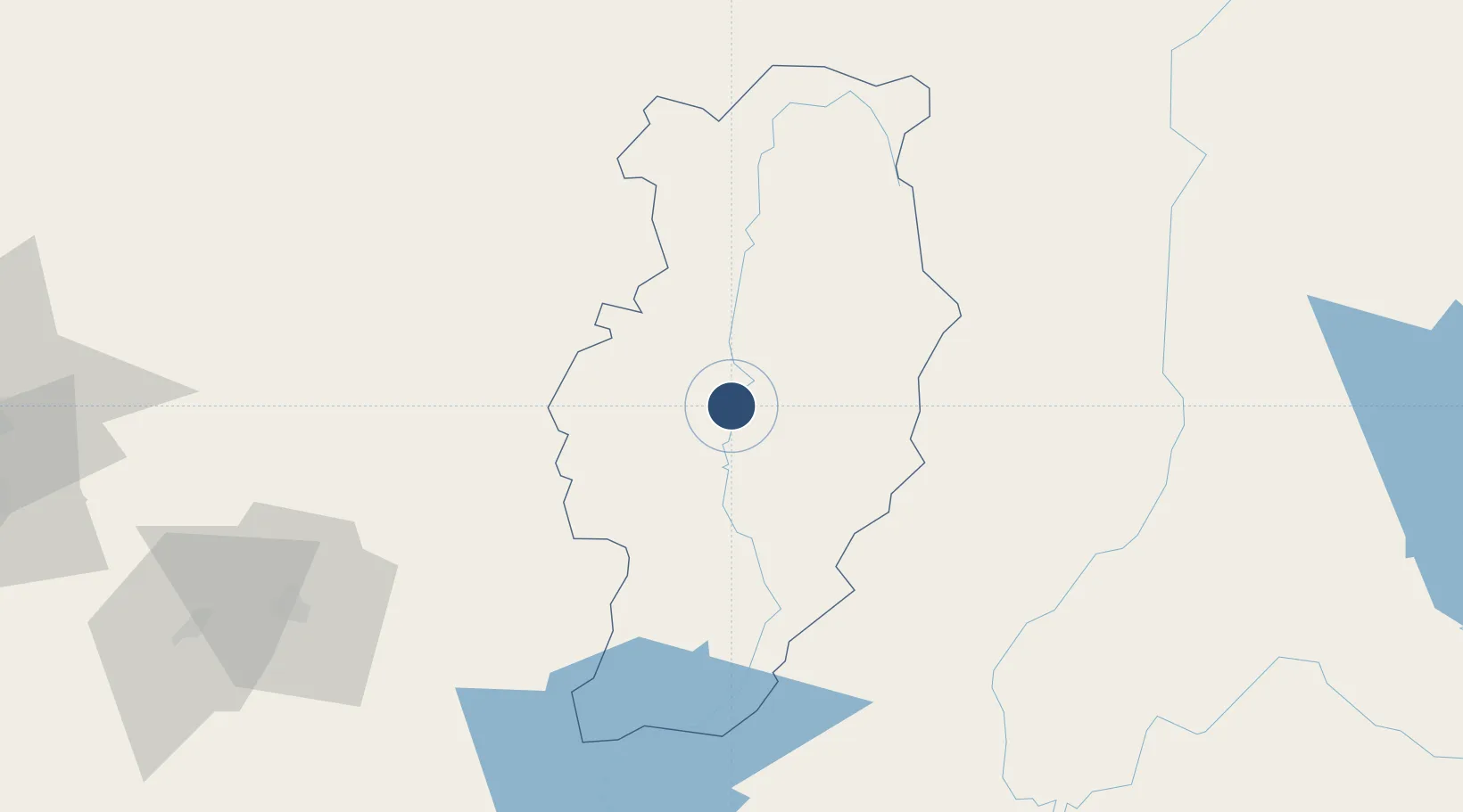
18.8079°, 100.7830°
6,562 ft
Longest runway
1
Runways
685 ft
Elevation
Runway & Layout

Radio Frequencies
ATIS
35.5 MHz
TWR
118.55 MHz
APP
120.25 MHz
Navaids
NAN VOR-DME Nan 115.70 MHz
NN NDB Nan 355 kHz
Runways · 1
| Runway | Dimensions | Surface | True heading | Lit |
|---|---|---|---|---|
| 02/20 | 6,562 × 148ft | Asphalt | 021° | ✓ |
Airport Specifications
IATA code
NNT
ICAO code
VTCN
Airport class
Medium airport
Scheduled service
Yes
Runway surface
Asphalt
Location
Nearby Logistics Neighbours
Airports
- 1Phrae Airport100 km
- 2Lampang Airport147 km
- 3Mae Fah Luang - Chiang Rai International Airport159 km
- 4Bokeo International Airport181 km
- 5Loei Airport182 km
Cities
- 1Vangrieng174 km
- 2Phonhong174 km
- 3Chiang Saen Customs House184 km
- 4Luang Prabang191 km
- 5Vientiane209 km
Ports
- 1Nghe Tinh525 km
- 2Rangoon539 km
- 3Bangkok563 km
- 4Ko Si Chang Terminal627 km
- 5Si Racha Terminal627 km
Trade Zones
DatabookThe Record of Consolidated Knowledge
Thailand beyond logistics?