Large airport · Thailand

Mae Fah Luang - Chiang Rai International AirportVTCT
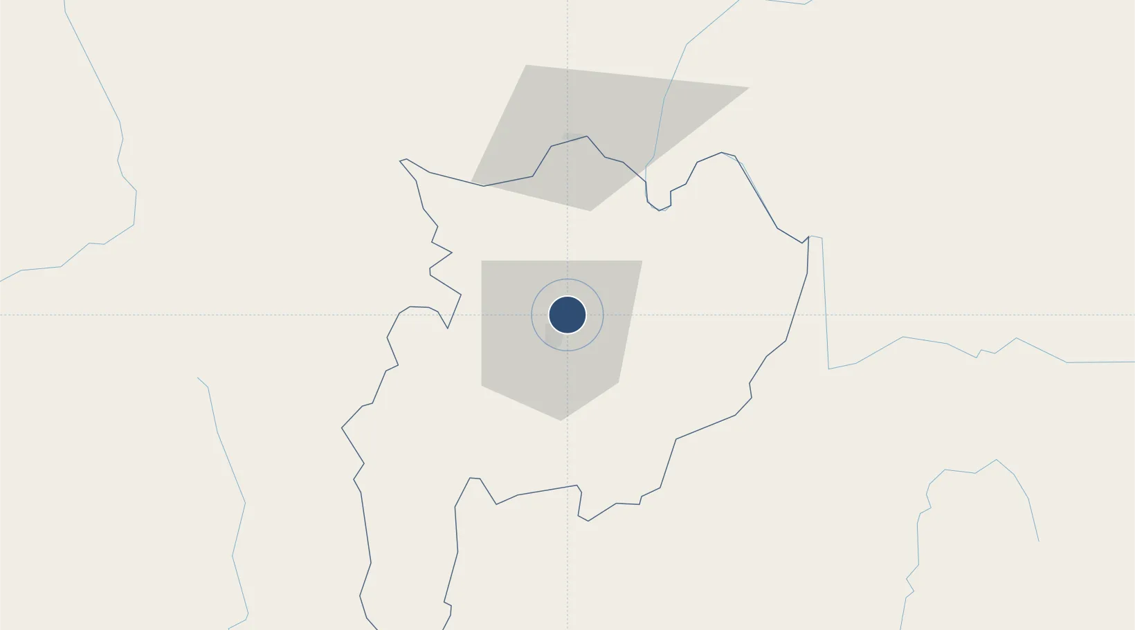
19.9523°, 99.8829°
9,843 ft
Longest runway
1
Runways
1,280 ft
Elevation

Runway & Layout

Mae Fah Luang - Chiang Rai International Airport runway & taxiway layout
Runway & taxiway layout — OpenStreetMap (ODbL) / OurAirports

Radio Frequencies

ATIS
927.7 MHz
APP
163.05 MHz
RDO
0.7 MHz
TWR .
1 MHz
TWR l3oM_Tul2l3o®
OurAirports

Navaids

CT NDB Chiang Rai 277 kHz
CTR VOR-DME Chiang Rai 116.50 MHz
OurAirports

Runways · 1

RunwayDimensions SurfaceTrue headingLit
03/21 9,843 × 148ft Asphalt 029°
OurAirports

Airport Specifications

IATA code
CEI
OurAirports
ICAO code
VTCT
OurAirports
Airport class
Large airport
OurAirports
Scheduled service
Yes
OurAirports
Runway surface
Asphalt
OurAirports
Served city
Chiang Rai
OurAirports

Location

Location of VTCT
Natural Earth 10m (public domain) · Chiang Rai · VTCT · 19.95, 99.88GoogleOSMYandex

Nearby Logistics Neighbours

Airports
  1. 1Bokeo International Airport51 km
  2. 2Tachileik Airport59 km
  3. 3Mong Hsat Airport91 km
  4. 4Kengtung Airport152 km
  5. 5Nan Airport159 km
Nearest neighbours — logibook spatial index (haversine) over the source coordinates
Cities
  1. 1Chiang Saen Customs House45 km
  2. 2Nateuy219 km
  3. 3Boten230 km
  4. 4Oudomxay233 km
  5. 5Luang Prabang242 km
Nearest neighbours — logibook spatial index (haversine) over the source coordinates
Ports
  1. 1Rangoon528 km
  2. 2Nghe Tinh631 km
  3. 3Bassein648 km
  4. 4Bangkok693 km
  5. 5Hai Phong717 km
Nearest neighbours — logibook spatial index (haversine) over the source coordinates
Trade Zones
  1. 1Chiang Rai Special Economic Zone6 km
  2. 2Golden Triangle Special Economic Zone50 km
  3. 3Creative Kingdom (Thailand) Co., Ltd.156 km
  4. 4Northern Region Industrial Estate (Lamphun)176 km
  5. 5Boten Special Economic Zone228 km
Nearest neighbours — logibook spatial index (haversine) over the source coordinates
DatabookThe Record of Consolidated Knowledge
Thailand beyond logistics?
Browse databook

All Sources

AirportsOurAirports
Public domain
Portsthe NGA World Port Index
Public domain (US gov)
LocationsUN/LOCODE
UN/LOCODE — free
Trade Zonesthe World Bank SEZ database
CC BY 4.0
Trade ZonesOpen Zone Map
CC BY
InfrastructureOpenStreetMap
ODbL 1.0
← Thailand airports