Specialized Zone · India

Kinfra (Food Processing) SEZ Kakkancherry Active
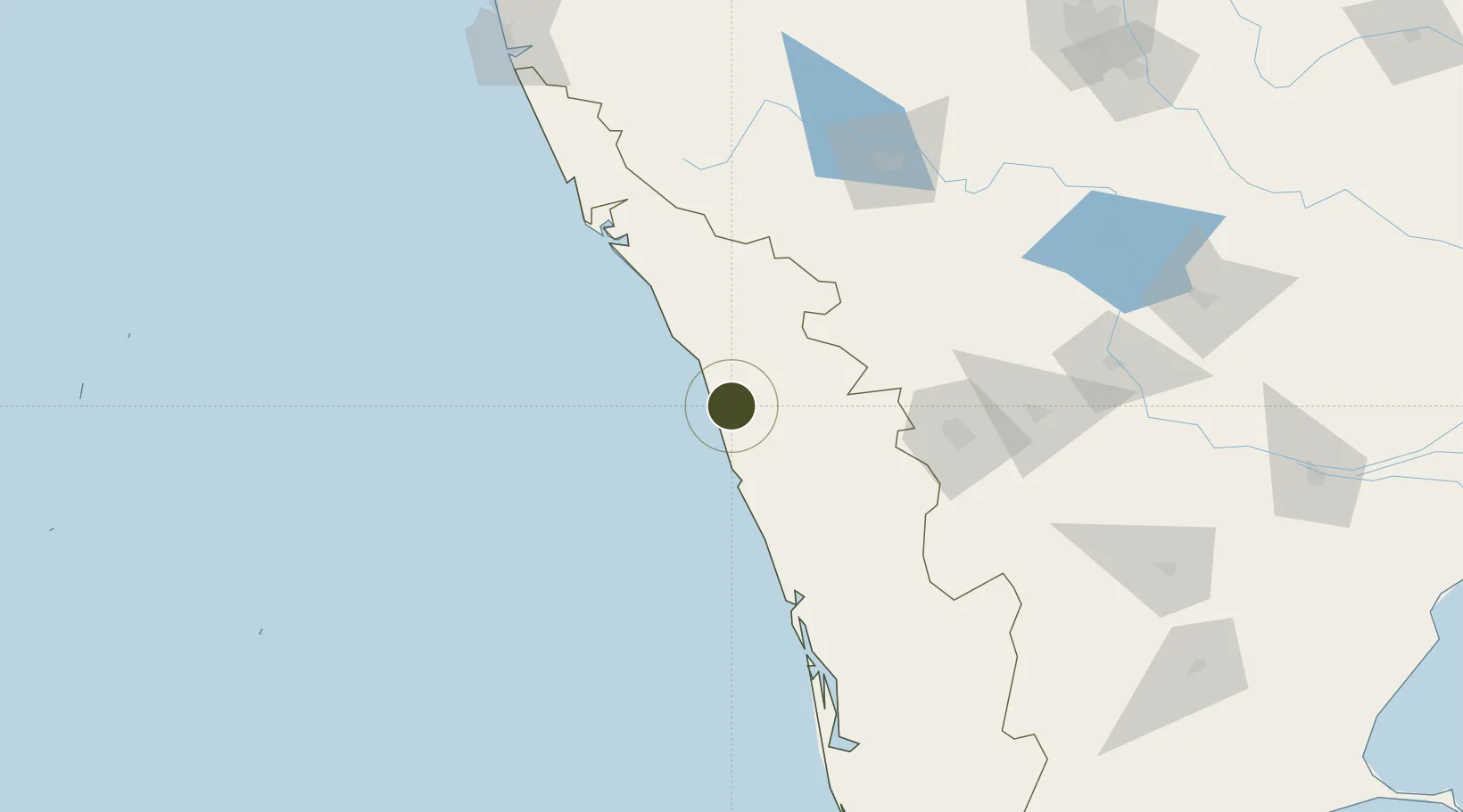
11.1523°, 75.8922°
13 ha
Zone area
10.2 km
Nearest port
7.1 km
Nearest airport

Gateway access

Nearest neighbours — logibook spatial index (haversine) over the source coordinates

Zone profile

Zone type
Specialized Zone
Open Zone Map
Specialization
Agriculture
Open Zone Map
Region
Kerala
Open Zone Map
Status
Active
Open Zone Map
Management
Public
Open Zone Map
Operator
Kinfra Industrial Infrastructure Development Corporation
Open Zone Map
Legal framework
Kerala Special Economic Zone Policy of 2008
Open Zone Map

Location

Location of ozm-2153
Natural Earth 10m (public domain) · Kerala · ozm-2153 · 11.15, 75.89GoogleOSMYandex

Nearby Logistics Neighbours

Ports
  1. 1Beypore10 km
  2. 2Calicut (Kozhikode)18 km
  3. 3Azhikal (Azhikkal)109 km
  4. 4Kochi (Cochin)137 km
  5. 5New Mangalore228 km
Nearest neighbours — logibook spatial index (haversine) over the source coordinates
Airports
  1. 1Calicut International Airport7 km
  2. 2Kannur International Airport93 km
  3. 3Cochin International Airport124 km
  4. 4Coimbatore International Airport126 km
  5. 5Mysore Airport146 km
Nearest neighbours — logibook spatial index (haversine) over the source coordinates
Cities
  1. 1Kozhikode (ex Calicut)18 km
  2. 2Kinfrafp-SEZ/Kozhikkode18 km
  3. 3Kollam40 km
  4. 4Mahe72 km
  5. 5Tics ICD/Mathilakam79 km
Nearest neighbours — logibook spatial index (haversine) over the source coordinates
Trade Zones
  1. 1Kerala State Information Technology Infrastructure Limited13 km
  2. 2Span Ventures121 km
  3. 3Rathinam Techzone121 km
  4. 4Carborundum Universal Ltd131 km
  5. 5Cochin Port Trust136 km
Nearest neighbours — logibook spatial index (haversine) over the source coordinates
DatabookThe Record of Consolidated Knowledge
India beyond logistics?
Browse databook

All Sources

Trade ZonesOpen Zone Map
CC BY
Portsthe NGA World Port Index
Public domain (US gov)
AirportsOurAirports
Public domain
LocationsUN/LOCODE
UN/LOCODE — free
← India trade zones