Transport Functions
Multimodal
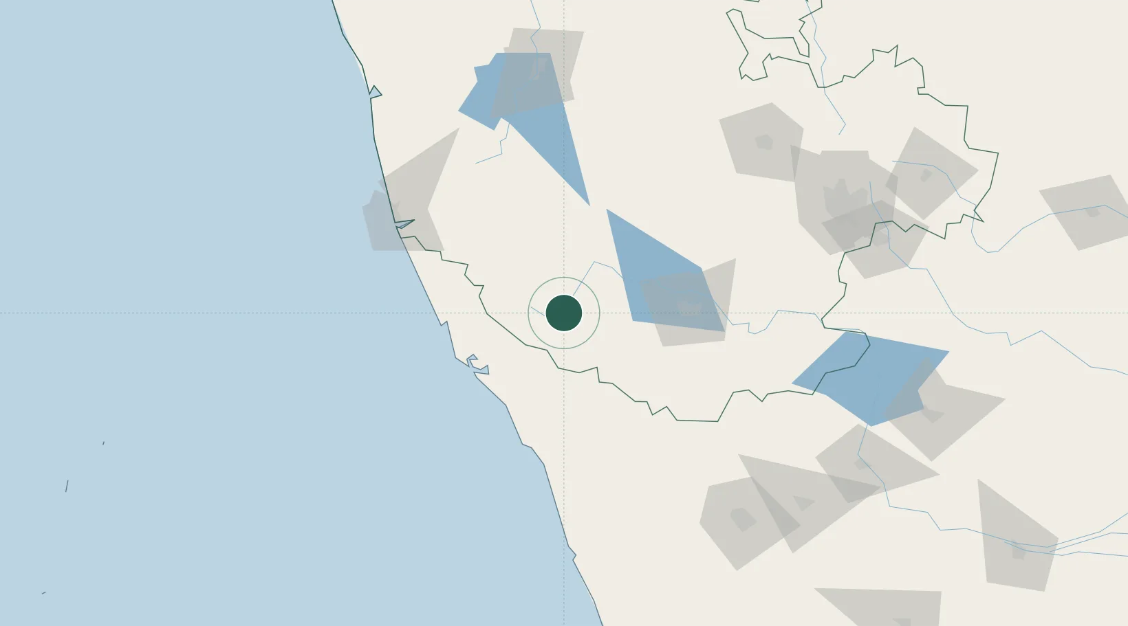
Hub Profile
Place type
Populated place
Region
Karnataka
Time zone
Asia/Kolkata
Elevation
840 m
Location
Nearby Logistics Neighbours
Cities
- 1Taliparamba63 km
- 2Payyannur76 km
- 3Mahe76 km
- 4Hassan81 km
- 5OPTO INFRA SEZ/Hassan81 km
Ports
- 1Azhikal (Azhikkal)72 km
- 2Calicut (Kozhikode)117 km
- 3Beypore126 km
- 4New Mangalore133 km
- 5Kochi (Cochin)263 km
Airports
- 1Kannur International Airport55 km
- 2Mysore Airport86 km
- 3Mangaluru International Airport129 km
- 4Calicut International Airport130 km
- 5Rashtrakavi Kuvempu Airport175 km
DatabookThe Record of Consolidated Knowledge
India beyond logistics?