Transport Functions
Road
Multimodal
Hub Profile
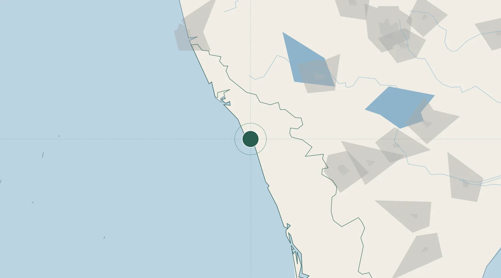
Place type
Populated place
Region
Kerala
Time zone
Asia/Kolkata
Elevation
18 m
Location
Nearby Logistics Neighbours
Cities
- 1Kozhikode (ex Calicut)24 km
- 2Kinfrafp-SEZ/Kozhikkode24 km
- 3Mahe32 km
- 4Taliparamba76 km
- 5Payyannur89 km
Ports
- 1Calicut (Kozhikode)24 km
- 2Beypore34 km
- 3Azhikal (Azhikkal)69 km
- 4Kochi (Cochin)176 km
- 5New Mangalore188 km
Airports
- 1Calicut International Airport46 km
- 2Kannur International Airport54 km
- 3Mysore Airport137 km
- 4Coimbatore International Airport156 km
- 5Cochin International Airport164 km
Trade Zones
DatabookThe Record of Consolidated Knowledge
India beyond logistics?