Transport Functions
Port
Rail
Road
Hub Profile
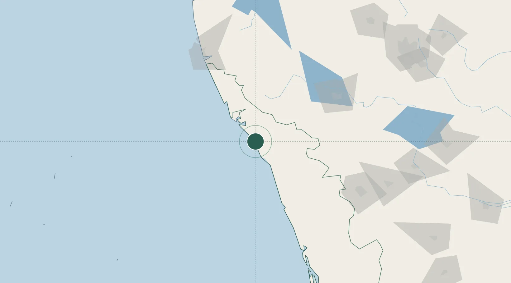
Place type
Populated place
Region
Kerala
Population
41,816
Time zone
Asia/Kolkata
Elevation
22 m
Location
Nearby Logistics Neighbours
Cities
- 1Kollam32 km
- 2Taliparamba44 km
- 3Kozhikode (ex Calicut)56 km
- 4Kinfrafp-SEZ/Kozhikkode56 km
- 5Payyannur57 km
Ports
- 1Azhikal (Azhikkal)37 km
- 2Calicut (Kozhikode)56 km
- 3Beypore66 km
- 4New Mangalore156 km
- 5Kochi (Cochin)207 km
Airports
DatabookThe Record of Consolidated Knowledge
India beyond logistics?