Specialized Zone · India

Infosys Ltd SEZ (Mysuru) Active
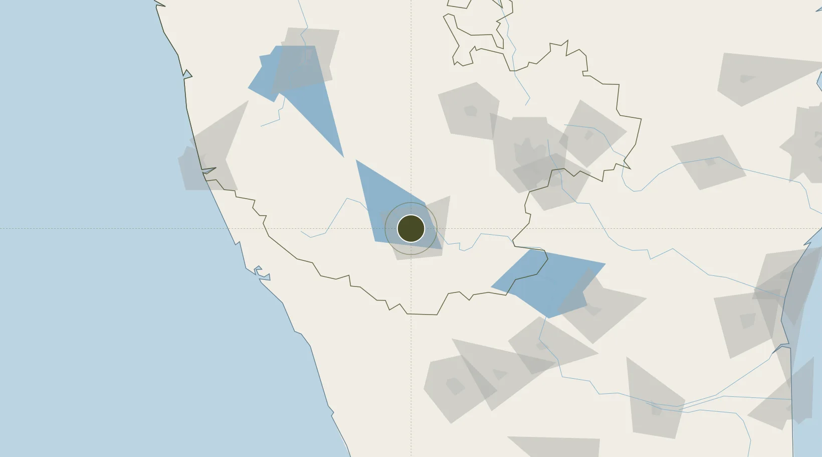
12.3602°, 76.6002°
124 ha
Zone area
147.7 km
Nearest port
15.6 km
Nearest airport

Gateway access

Nearest neighbours — logibook spatial index (haversine) over the source coordinates

Zone profile

Zone type
Specialized Zone
Open Zone Map
Specialization
IT
Open Zone Map
Region
Karnataka
Open Zone Map
Status
Active
Open Zone Map
Management
Private
Open Zone Map
Operator
Infosys.Ltd
Open Zone Map
Legal framework
SEZ/(Specialized Zone (IT))/ITL-2/0042/2010-11 dated 24.11.2010
Open Zone Map

Location

Location of ozm-2268
Natural Earth 10m (public domain) · Karnataka · ozm-2268 · 12.36, 76.60GoogleOSMYandex

Nearby Logistics Neighbours

Ports
  1. 1Azhikal (Azhikkal)148 km
  2. 2Calicut (Kozhikode)153 km
  3. 3Beypore159 km
  4. 4New Mangalore203 km
  5. 5Kochi (Cochin)269 km
Nearest neighbours — logibook spatial index (haversine) over the source coordinates
Airports
  1. 1Mysore Airport16 km
  2. 2Kannur International Airport125 km
  3. 3HAL Airport133 km
  4. 4Jakkur Aerodrome134 km
  5. 5Kempegowda International Airport Bengaluru152 km
Nearest neighbours — logibook spatial index (haversine) over the source coordinates
Cities
  1. 1Infosys Electronic City Sez/Begur Hobli48 km
  2. 2Siddapur80 km
  3. 3Hassan91 km
  4. 4OPTO INFRA SEZ/Hassan91 km
  5. 5Kiadbfp-SEZ/Hassan91 km
Nearest neighbours — logibook spatial index (haversine) over the source coordinates
Trade Zones
  1. 1Kiadb SEZ Hassan - Textiles86 km
  2. 2Kiadb Food Processing Special Economic Zone90 km
  3. 3Sattva Global City SEZ116 km
  4. 4Kiadb Pharmaceutical Special Economic Zone123 km
  5. 5Hcl Technologies Ltd.124 km
Nearest neighbours — logibook spatial index (haversine) over the source coordinates
DatabookThe Record of Consolidated Knowledge
India beyond logistics?
Browse databook

All Sources

Trade ZonesOpen Zone Map
CC BY
Portsthe NGA World Port Index
Public domain (US gov)
AirportsOurAirports
Public domain
LocationsUN/LOCODE
UN/LOCODE — free
← India trade zones