Medium airport · India
Kangra AirportVIGG
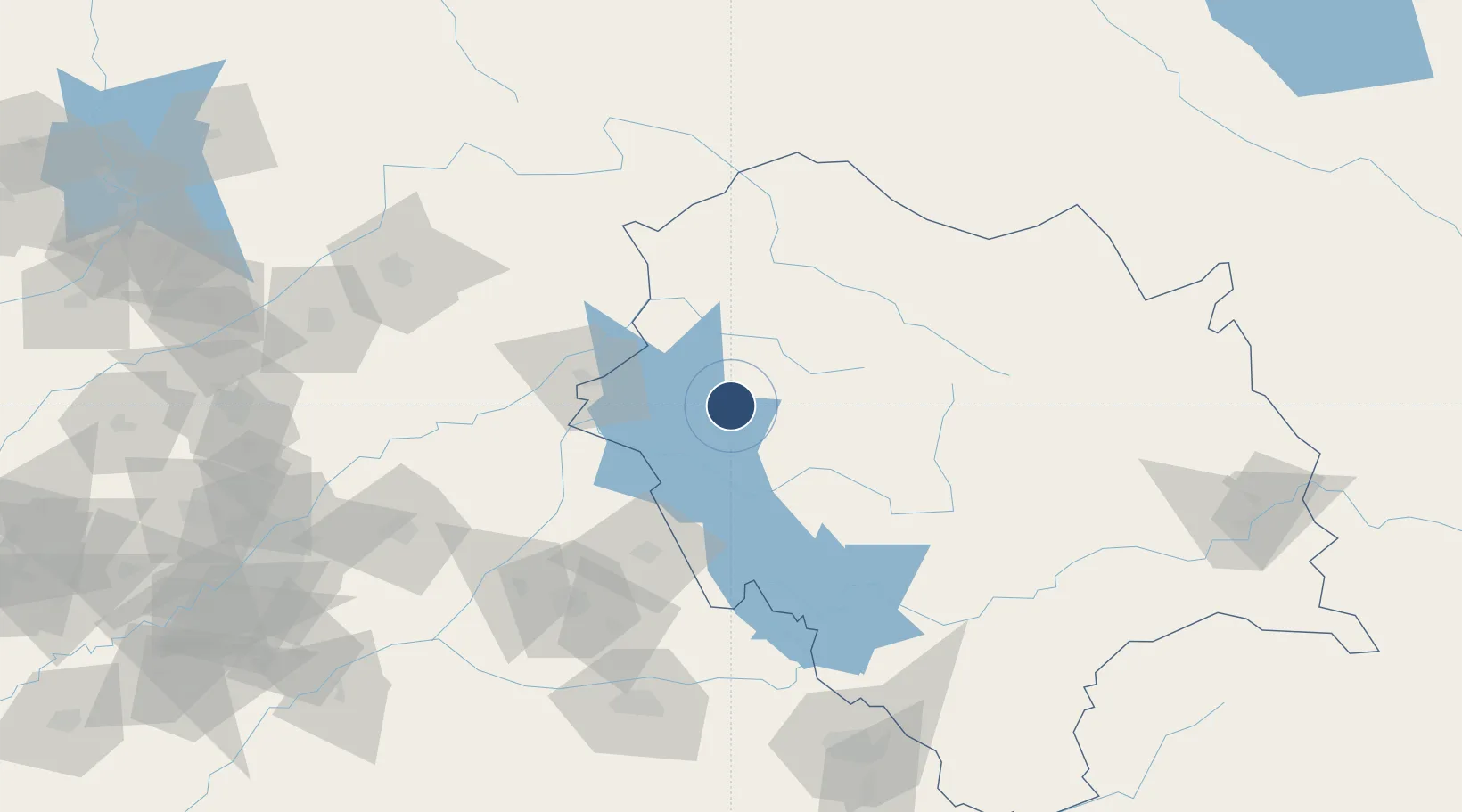
32.1649°, 76.2630°
4,620 ft
Longest runway
1
Runways
2,525 ft
Elevation
Runway & Layout

Radio Frequencies
TWR
122.3 MHz
Navaids
KN NDB Kangra 237 kHz
Runways · 1
| Runway | Dimensions | Surface | True heading | Lit |
|---|---|---|---|---|
| 15/33 | 4,620 × 98ft | Asphalt | 148° | — |
Airport Specifications
IATA code
DHM
ICAO code
VIGG
Airport class
Medium airport
Scheduled service
Yes
Runway surface
Asphalt
Served city
Kangra
Location
Nearby Logistics Neighbours
Airports
- 1Pathankot Airport60 km
- 2Kullu Manali Airport90 km
- 3Adampur Airport94 km
- 4Udhampur Air Force Station132 km
- 5Jammu Airport146 km
Cities
- 1Talwara45 km
- 2Una76 km
- 3Hoshiarpur79 km
- 4Anandpur Sahib104 km
- 5Infosys Sez/Mohali134 km
Ports
- 1Navlakhi1173 km
- 2Kandla1177 km
- 3Muhamamad Bin Qasim1197 km
- 4Dahej1221 km
- 5Karachi1222 km
Trade Zones
DatabookThe Record of Consolidated Knowledge
India beyond logistics?