Large airport · India

Sheikh ul Alam International AirportVISR
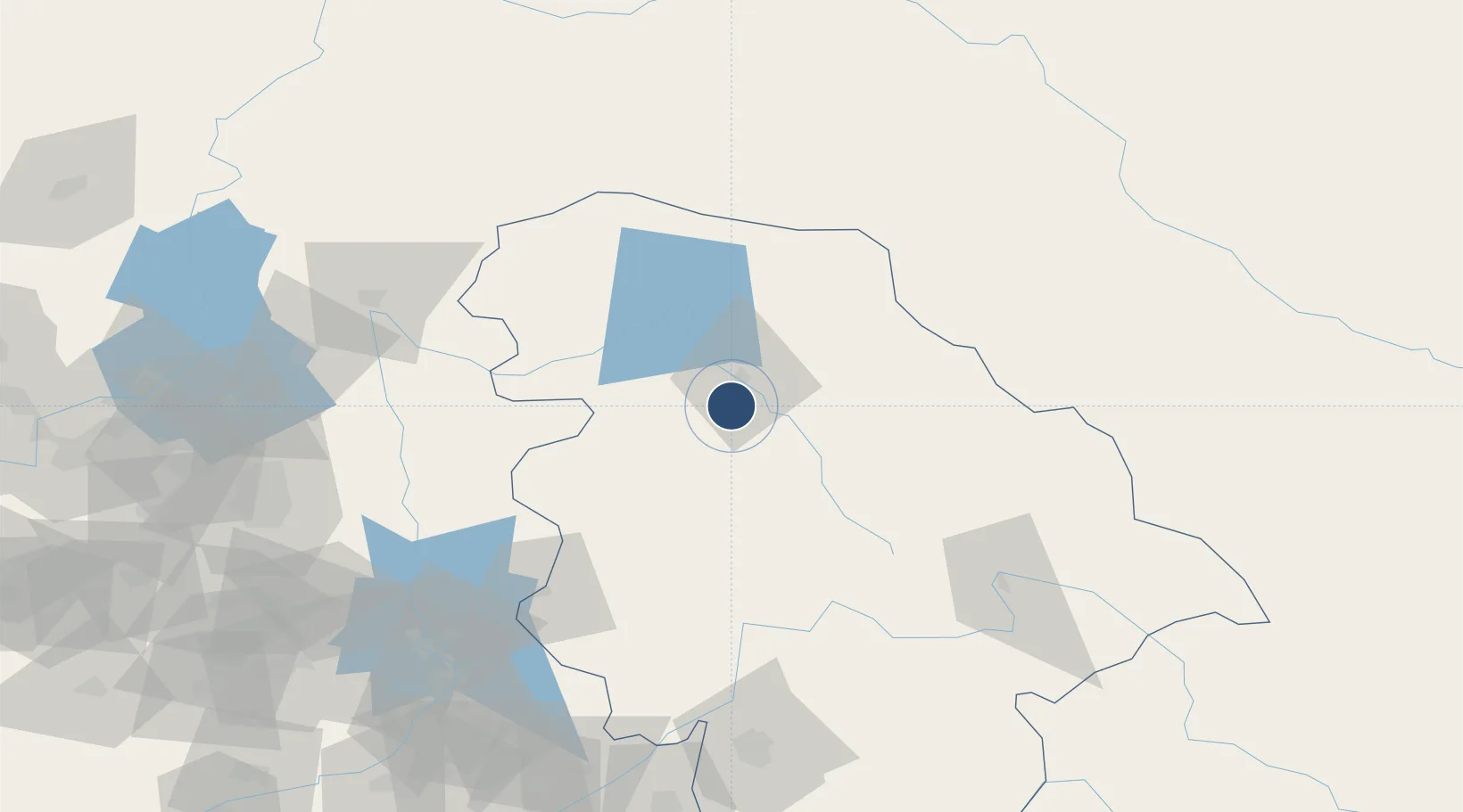
33.9871°, 74.7742°
12,090 ft
Longest runway
1
Runways
5,429 ft
Elevation

Runway & Layout

Sheikh ul Alam International Airport runway & taxiway layout
Runway & taxiway layout — OpenStreetMap (ODbL) / OurAirports

Radio Frequencies

TWR
127.9 MHz
A/G
893.9 MHz
RDO
OurAirports

Navaids

SNG VOR-DME Srinagar 115.90 MHz
SNG NDB Srinagar 220 kHz
OurAirports

Runways · 1

RunwayDimensions SurfaceTrue headingLit
13/31 12,090 × 150ft Asphalt 136°
OurAirports

Airport Specifications

IATA code
SXR
OurAirports
ICAO code
VISR
OurAirports
Airport class
Large airport
OurAirports
Scheduled service
Yes
OurAirports
Runway surface
Asphalt
OurAirports
Served city
Srinagar
OurAirports

Location

Location of VISR
Natural Earth 10m (public domain) · Jammu and Kashmir · VISR · 33.99, 74.77GoogleOSMYandex

Nearby Logistics Neighbours

Airports
  1. 1Rawalakot Airport91 km
  2. 2Muzaffarabad Airport123 km
  3. 3Udhampur Air Force Station126 km
  4. 4Jammu Airport145 km
  5. 5Mangla Airport148 km
Nearest neighbours — logibook spatial index (haversine) over the source coordinates
Cities
  1. 1Garhi Habibullah Khan136 km
  2. 2Jammu143 km
  3. 3Bari Brahmana151 km
  4. 4Jhelum152 km
  5. 5Sialkot171 km
Nearest neighbours — logibook spatial index (haversine) over the source coordinates
Ports
  1. 1Muhamamad Bin Qasim1252 km
  2. 2Karachi1271 km
  3. 3Kandla1296 km
  4. 4Navlakhi1297 km
  5. 5Mundra1346 km
Nearest neighbours — logibook spatial index (haversine) over the source coordinates
Trade Zones
  1. 1Mirpur Special Economic Zone159 km
  2. 2Oil Village Rawalpindi Special Economic Zone171 km
  3. 3Sialkot Export Processing Zone173 km
  4. 4Hattar Special Economic Zone179 km
  5. 5Islamabad Capital Territory Model Industrial Zone187 km
Nearest neighbours — logibook spatial index (haversine) over the source coordinates
DatabookThe Record of Consolidated Knowledge
India beyond logistics?
Browse databook

All Sources

AirportsOurAirports
Public domain
Portsthe NGA World Port Index
Public domain (US gov)
LocationsUN/LOCODE
UN/LOCODE — free
Trade Zonesthe World Bank SEZ database
CC BY 4.0
Trade ZonesOpen Zone Map
CC BY
InfrastructureOpenStreetMap
ODbL 1.0
← India airports