Transport Functions
Multimodal
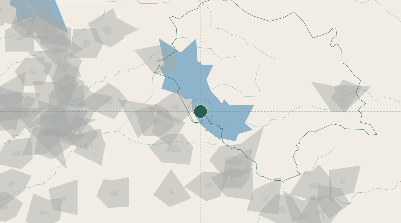
Hub Profile
Place type
Populated place
Region
Himachal Pradesh
Population
18,722
Time zone
Asia/Kolkata
Elevation
395 m
Location
Nearby Logistics Neighbours
Cities
- 1Anandpur Sahib33 km
- 2Hoshiarpur35 km
- 3Infosys Sez/Mohali60 km
- 4Talwara64 km
- 5Chawapayal ICD/Samrala73 km
Ports
- 1Navlakhi1109 km
- 2Kandla1114 km
- 3Dahej1150 km
- 4Muhamamad Bin Qasim1150 km
- 5Bhavnagar1153 km
Airports
- 1Adampur Airport50 km
- 2Kangra Airport76 km
- 3Ludhiana Airport77 km
- 4Kullu Manali Airport93 km
- 5Shaheed Bhagat Singh International Airport102 km
DatabookThe Record of Consolidated Knowledge
India beyond logistics?