Medium airport · India

Leh Kushok Bakula Rimpochee AirportVILH
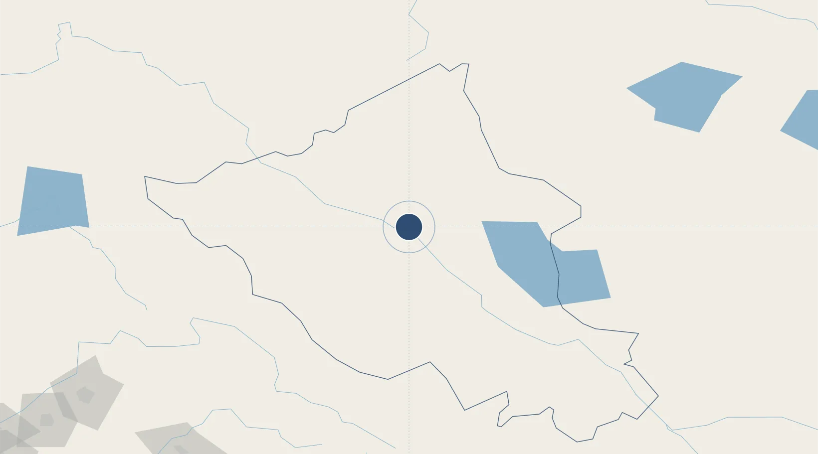
34.1359°, 77.5465°
9,040 ft
Longest runway
1
Runways
10,682 ft
Elevation

Runway & Layout

Leh Kushok Bakula Rimpochee Airport runway & taxiway layout
Runway & taxiway layout — OpenStreetMap (ODbL) / OurAirports

Navaids

LA NDB Leh 105 kHz
LEH VOR-DME Leh 115.70 MHz
OurAirports

Runways · 1

RunwayDimensions SurfaceTrue headingLit
07L/25R 9,040 × 150ft Asphalt 068°
OurAirports

Airport Specifications

IATA code
IXL
OurAirports
ICAO code
VILH
OurAirports
Airport class
Medium airport
OurAirports
Scheduled service
Yes
OurAirports
Runway surface
Asphalt
OurAirports
Served city
Leh
OurAirports

Location

Location of VILH
Natural Earth 10m (public domain) · Ladakh · VILH · 34.14, 77.55GoogleOSMYandex

Nearby Logistics Neighbours

Airports
  1. 1Skardu International Airport227 km
  2. 2Kangra Airport250 km
  3. 3Kullu Manali Airport254 km
  4. 4Sheikh ul Alam International Airport256 km
  5. 5Udhampur Air Force Station261 km
Nearest neighbours — logibook spatial index (haversine) over the source coordinates
Cities
  1. 1Talwara291 km
  2. 2Bari Brahmana296 km
  3. 3Jammu297 km
  4. 4Dhar297 km
  5. 5Una318 km
Nearest neighbours — logibook spatial index (haversine) over the source coordinates
Ports
  1. 1Navlakhi1422 km
  2. 2Kandla1426 km
  3. 3Muhamamad Bin Qasim1434 km
  4. 4Karachi1457 km
  5. 5Dahej1467 km
Nearest neighbours — logibook spatial index (haversine) over the source coordinates
Trade Zones
  1. 1Sialkot Export Processing Zone352 km
  2. 2Mirpur Special Economic Zone359 km
  3. 3Rajeev Gandhi Technology Park, Phase-2, Chandigarh385 km
  4. 4Rajiv Gandhi Technology Park, Phase-1 Chandigarh385 km
  5. 5Pishan Three Gorges Industrial Park387 km
Nearest neighbours — logibook spatial index (haversine) over the source coordinates
DatabookThe Record of Consolidated Knowledge
India beyond logistics?
Browse databook

All Sources

AirportsOurAirports
Public domain
Portsthe NGA World Port Index
Public domain (US gov)
LocationsUN/LOCODE
UN/LOCODE — free
Trade Zonesthe World Bank SEZ database
CC BY 4.0
Trade ZonesOpen Zone Map
CC BY
InfrastructureOpenStreetMap
ODbL 1.0
← India airports