Transport Functions
Multimodal
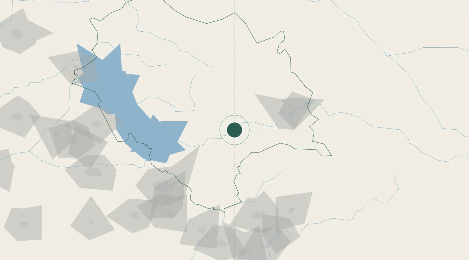
Hub Profile
Place type
Populated place
Region
Himachal Pradesh
Time zone
Asia/Kolkata
Elevation
1,989 m
Location
Nearby Logistics Neighbours
Cities
- 1Ambala Cantonment101 km
- 2Parwanoo101 km
- 3Barwala110 km
- 4Barotiwala115 km
- 5Anandpur Sahib118 km
Airports
- 1Kullu Manali Airport70 km
- 2Shaheed Bhagat Singh International Airport125 km
- 3Dehradun Jolly Grant Airport149 km
- 4Ambala Air Force Station149 km
- 5Kangra Airport158 km
Trade Zones
DatabookThe Record of Consolidated Knowledge
India beyond logistics?