Large airport · Pakistan
Skardu International AirportOPSD
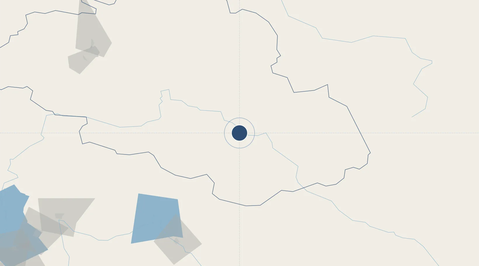
35.3387°, 75.5386°
11,995 ft
Longest runway
2
Runways
7,316 ft
Elevation
Runway & Layout

Radio Frequencies
TWR
119.7 MHz
GND
121.8 MHz
TWR
RDO
292.3 MHz
Navaids
SD NDB Skardu 247 kHz
Runways · 2
| Runway | Dimensions | Surface | True heading | Lit |
|---|---|---|---|---|
| 14L/32R | 11,995 × 101ft | Asphalt | 153° | ✓ |
| 14R/32L | 11,995 × 150ft | Asphalt | 147° | ✓ |
Airport Specifications
IATA code
KDU
ICAO code
OPSD
Airport class
Large airport
Scheduled service
Yes
Runway surface
Asphalt
Served city
Skardu
Location
Nearby Logistics Neighbours
Airports
- 1Gilgit Airport127 km
- 2Sheikh ul Alam International Airport166 km
- 3Muzaffarabad Airport216 km
- 4Leh Kushok Bakula Rimpochee Airport227 km
- 5Rawalakot Airport230 km
Cities
- 1Garhi Habibullah Khan223 km
- 2Jammu300 km
- 3Bari Brahmana306 km
- 4Jhelum315 km
- 5Torkham333 km
Ports
- 1Muhamamad Bin Qasim1414 km
- 2Karachi1432 km
- 3Kandla1462 km
- 4Navlakhi1462 km
- 5Mundra1512 km
DatabookThe Record of Consolidated Knowledge
Pakistan beyond logistics?