Medium airport · India

Kullu Manali AirportVIBR
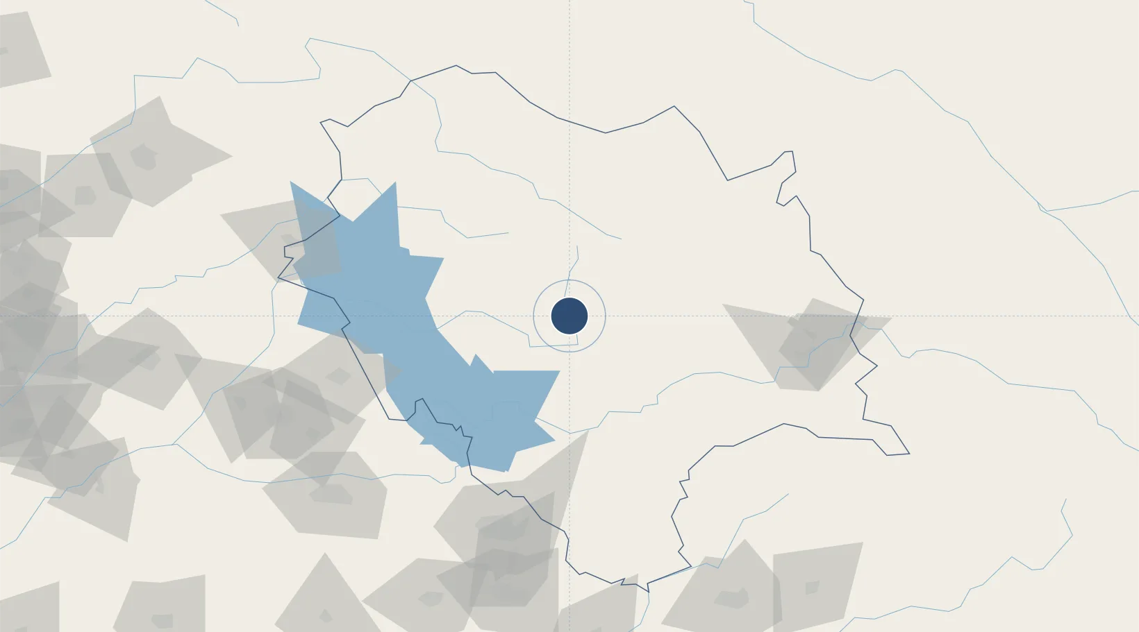
31.8767°, 77.1544°
3,690 ft
Longest runway
1
Runways
3,573 ft
Elevation

Runway & Layout

Kullu Manali Airport runway & taxiway layout
Runway & taxiway layout — OpenStreetMap (ODbL) / OurAirports

Radio Frequencies

TWR
122.3 MHz
OurAirports

Navaids

BNR NDB Bhuntar 334 kHz
OurAirports

Runways · 1

RunwayDimensions SurfaceTrue headingLit
16/34 3,690 × 100ft Asphalt 159°
OurAirports

Airport Specifications

IATA code
KUU
OurAirports
ICAO code
VIBR
OurAirports
Airport class
Medium airport
OurAirports
Scheduled service
Yes
OurAirports
Runway surface
Asphalt
OurAirports
Served city
Bhuntar
OurAirports

Location

Location of VIBR
Natural Earth 10m (public domain) · Himachal Pradesh · VIBR · 31.88, 77.15GoogleOSMYandex

Nearby Logistics Neighbours

Airports
  1. 1Kangra Airport90 km
  2. 2Shaheed Bhagat Singh International Airport138 km
  3. 3Adampur Airport141 km
  4. 4Pathankot Airport149 km
  5. 5Ludhiana Airport161 km
Nearest neighbours — logibook spatial index (haversine) over the source coordinates
Cities
  1. 1Dhar70 km
  2. 2Anandpur Sahib93 km
  3. 3Una93 km
  4. 4Infosys Sez/Mohali116 km
  5. 5Parwanoo118 km
Nearest neighbours — logibook spatial index (haversine) over the source coordinates
Ports
  1. 1Navlakhi1192 km
  2. 2Kandla1197 km
  3. 3Dahej1221 km
  4. 4Bhavnagar1225 km
  5. 5Muhamamad Bin Qasim1242 km
Nearest neighbours — logibook spatial index (haversine) over the source coordinates
Trade Zones
  1. 1Rajeev Gandhi Technology Park, Phase-2, Chandigarh132 km
  2. 2Rajiv Gandhi Technology Park, Phase-1 Chandigarh132 km
  3. 3Quarkcity India Pvt. Ltd.137 km
  4. 4Sialkot Export Processing Zone275 km
  5. 5Rachna Industrial Park289 km
Nearest neighbours — logibook spatial index (haversine) over the source coordinates
DatabookThe Record of Consolidated Knowledge
India beyond logistics?
Browse databook

All Sources

AirportsOurAirports
Public domain
Portsthe NGA World Port Index
Public domain (US gov)
LocationsUN/LOCODE
UN/LOCODE — free
Trade Zonesthe World Bank SEZ database
CC BY 4.0
Trade ZonesOpen Zone Map
CC BY
InfrastructureOpenStreetMap
ODbL 1.0
← India airports