Medium airport · India
Lengpui AirportVELP
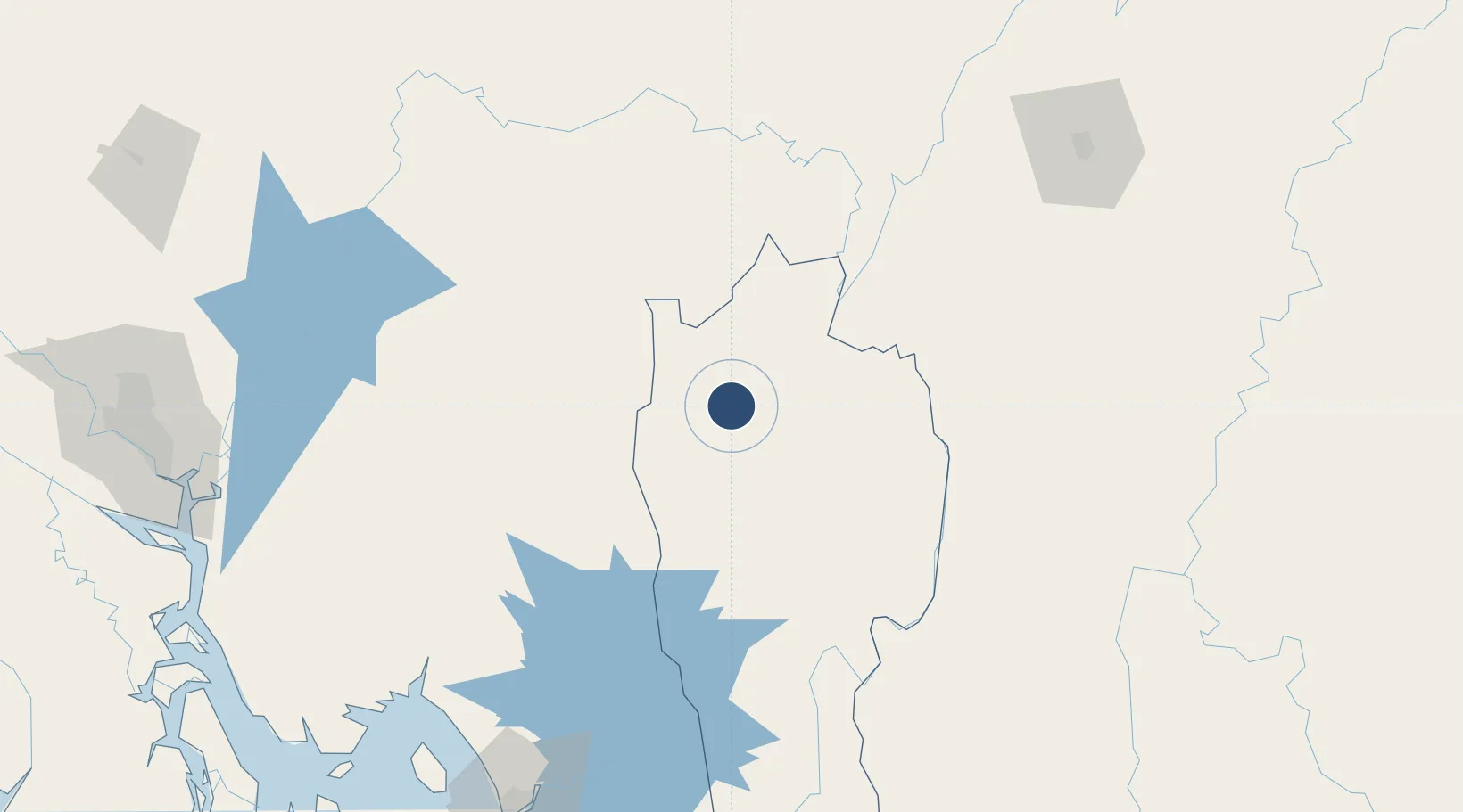
23.8406°, 92.6197°
8,202 ft
Longest runway
1
Runways
1,398 ft
Elevation
Runway & Layout

Radio Frequencies
TWR
122.25 MHz
Navaids
LLP VOR-DME Lengpui 114.20 MHz
LP NDB Lengpui 344 kHz
Runways · 1
| Runway | Dimensions | Surface | True heading | Lit |
|---|---|---|---|---|
| 17/35 | 8,202 × 148ft | Asphalt | 171° | ✓ |
Airport Specifications
IATA code
AJL
ICAO code
VELP
Airport class
Medium airport
Scheduled service
Yes
Runway surface
Asphalt
Served city
Aizawl (Lengpui)
Location
Nearby Logistics Neighbours
Airports
- 1Kailashahar Airport81 km
- 2Silchar Airport125 km
- 3Agartala - Maharaja Bir Bikram Airport140 km
- 4Osmany International Airport146 km
- 5Saiha Helipad155 km
Cities
- 1Moulvi Bazar111 km
- 2Ashuganj164 km
- 3Chattogram188 km
- 4Narsingdi194 km
- 5Munshiganj217 km
Ports
- 1Chittagong188 km
- 2Mongla344 km
- 3Sittwe413 km
- 4Calcutta461 km
- 5Haldia Port507 km
Trade Zones
DatabookThe Record of Consolidated Knowledge
India beyond logistics?