UN/LOCODE hub · India
INPUI

Kippl-Gdpl Sez/Kharadi

17.5833°, 75.2833°
1
Transport functions

Transport Functions

Multimodal
UN/LOCODE

Hub Profile

Region
MH
GeoNames

Location

Location of INPUI
Natural Earth 10m (public domain) · MH · INPUI · 17.58, 75.28GoogleOSMYandex

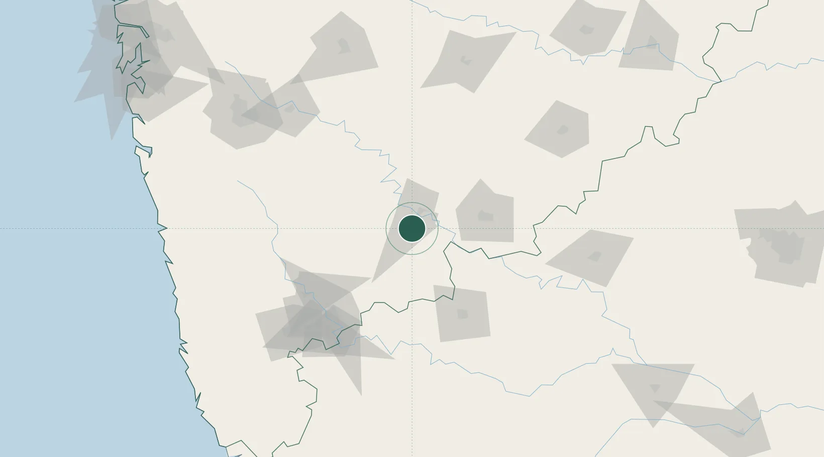
Nearby Logistics Neighbours

Cities
  1. 1Bijapur94 km
  2. 2Satara138 km
  3. 3Kagal151 km
  4. 4Loni Kalbhor164 km
  5. 5Ahmednagar177 km
Nearest neighbours — logibook spatial index (haversine) over the source coordinates
Ports
  1. 1Jaigarh Bay222 km
  2. 2Ratnagiri223 km
  3. 3Port Dabhol224 km
  4. 4Panaji280 km
  5. 5Marmagao288 km
Nearest neighbours — logibook spatial index (haversine) over the source coordinates
Airports
  1. 1Solapur Airport69 km
  2. 2Baramati Airport102 km
  3. 3Kolhapur Airport147 km
  4. 4Murod Kond Airport155 km
  5. 5Kalaburagi Airport181 km
Nearest neighbours — logibook spatial index (haversine) over the source coordinates
DatabookThe Record of Consolidated Knowledge
India beyond logistics?
Browse databook

All Sources

LocationsUN/LOCODE
UN/LOCODE — free
Portsthe NGA World Port Index
Public domain (US gov)
AirportsOurAirports
Public domain
Trade Zonesthe World Bank SEZ database
CC BY 4.0
Trade ZonesOpen Zone Map
CC BY
← India locations