Medium airport · Russia
Mirny AirportUERR
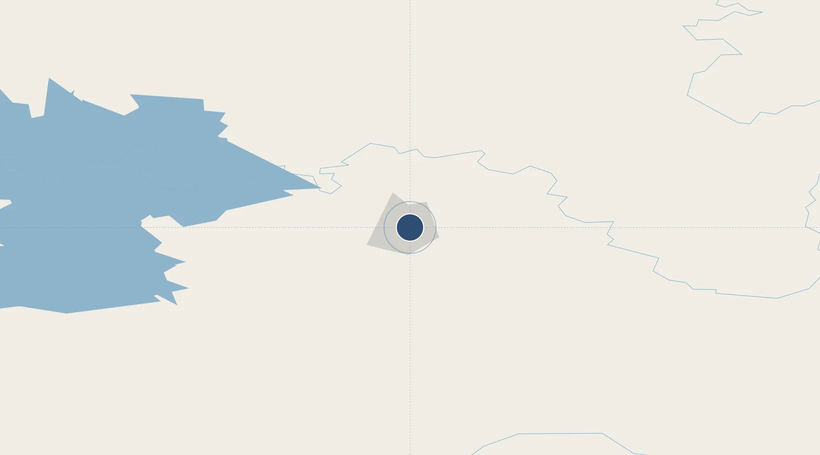
62.5347°, 114.0390°
9,187 ft
Longest runway
1
Runways
1,156 ft
Elevation
Runway & Layout

Radio Frequencies
ATIS
126.6 MHz
TWR
120.8 MHz
LANDING
APP
125.9 MHz
Navaids
DEM VOR-DME Mirny 113.80 MHz
NZ NDB Mirny 385 kHz
SG NDB Mirny 385 kHz
Runways · 1
| Runway | Dimensions | Surface | True heading | Lit |
|---|---|---|---|---|
| 07/25 | 9,187 × 148ft | Concrete | 056° | ✓ |
Airport Specifications
IATA code
MJZ
ICAO code
UERR
Airport class
Medium airport
Scheduled service
Yes
Runway surface
Concrete
Served city
Mirny
Location
Nearby Logistics Neighbours
Airports
- 1Suntar Airport190 km
- 2Lensk Airport206 km
- 3Verkhnevilyuisk Airport331 km
- 4Aykhal Airport399 km
- 5Vilyuisk Airport408 km
Ports
- 1Tiksi1193 km
- 2Vladivostok2452 km
- 3Slavyanka2462 km
- 4Pos'yet2467 km
- 5Jinzhou Wan2467 km
DatabookThe Record of Consolidated Knowledge
Russia beyond logistics?