Seaport · Russia

TiksiRUIKS

71.6444°, 128.8906°
6.4 m
Channel depth

Channel & Berth Profile

SEA LEVEL (CD)CHANNEL BEDOil terminal · 1.8 mChannel · 6.4 mAnchorage · 6.4 mCargo pier · 6.4 m
NGA World Port Index

Pilotage, Tugs & Services

Pilotage compulsoryYES
Potable waterYES
MedicalYES
NGA World Port Index

Facilities & Capabilities

Container
Ro-Ro
Liquid bulk
Dry bulk
Oil terminal
Break bulk
Dry dock
RepairsNO
BunkeringYES
Rail link
Dangerous cargo
ISPS security
NGA World Port Index

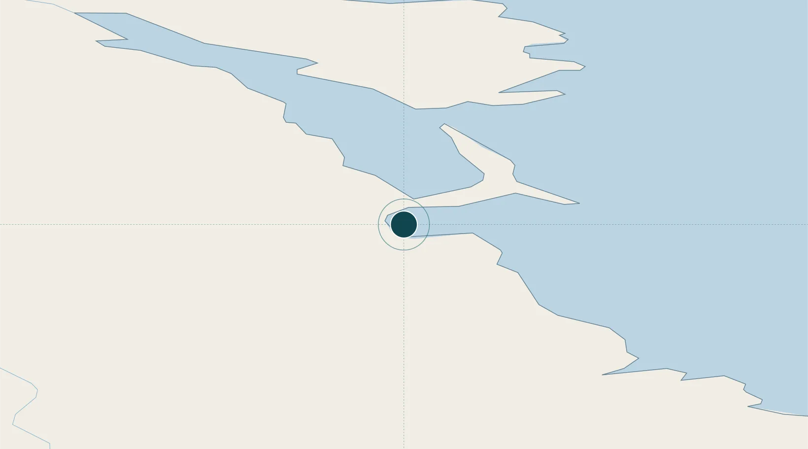
Harbour Specifications

Harbour size
Small
NGA World Port Index
Harbour type
Coastal (Natural)
NGA World Port Index
Shelter
Fair
NGA World Port Index
Water body
Laptev Sea; Arctic Ocean
NGA World Port Index
Tidal range
1 m
NGA World Port Index
Pilotage
Yes
NGA World Port Index

Location

Location of RUIKS
Natural Earth 10m (public domain) · Sakha (Yakutia) · RUIKS · 71.64, 128.89GoogleOSMYandex

Nearby Logistics Neighbours

Ports
  1. 1Okhotsk Iy Reyd1507 km
  2. 2Bukhta Nagayeva (Magadan)1656 km
  3. 3Moskal Vo2114 km
  4. 4Okha2125 km
  5. 5Nikolayevsk Na Amur2138 km
Nearest neighbours — logibook spatial index (haversine) over the source coordinates
Cities
  1. 1Kotel'nyy558 km
  2. 2Alabel713 km
  3. 3Olekminsk1308 km
  4. 4Lensk1360 km
  5. 5Vitim1542 km
Nearest neighbours — logibook spatial index (haversine) over the source coordinates
Airports
  1. 1Tiksi Airport6 km
  2. 2Ust-Kuyga Airport306 km
  3. 3Sakkyryr Airport432 km
  4. 4Deputatskiy Airport478 km
  5. 5Batagay Airport497 km
Nearest neighbours — logibook spatial index (haversine) over the source coordinates
DatabookThe Record of Consolidated Knowledge
Russia beyond logistics?
Browse databook

All Sources

Portsthe NGA World Port Index
Public domain (US gov)
AirportsOurAirports
Public domain
LocationsUN/LOCODE
UN/LOCODE — free
Trade Zonesthe World Bank SEZ database
CC BY 4.0
Trade ZonesOpen Zone Map
CC BY
← Russia ports