Transport Functions
Port
Hub Profile
Place type
Populated place
Region
Sakha
Population
3,843
Time zone
Asia/Yakutsk
Elevation
195 m
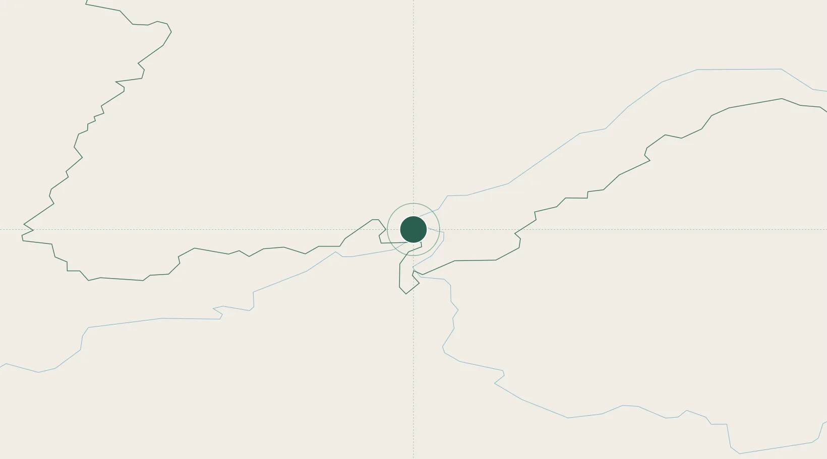
Location
Nearby Logistics Neighbours
Ports
- 1Tiksi1542 km
- 2Jinzhou Wan2159 km
- 3Huludao Gang2162 km
- 4Yingkou2189 km
- 5Qinhuangdao2222 km
Airports
- 1Lensk Airport192 km
- 2Bodaybo Airport198 km
- 3Mirny Airport356 km
- 4Taksimo Airport367 km
- 5Byas-Kyuyol Airport381 km
Trade Zones
DatabookThe Record of Consolidated Knowledge
Russia beyond logistics?