Specialized Zone · Russia

Baikal Haven Touristic Zone Active
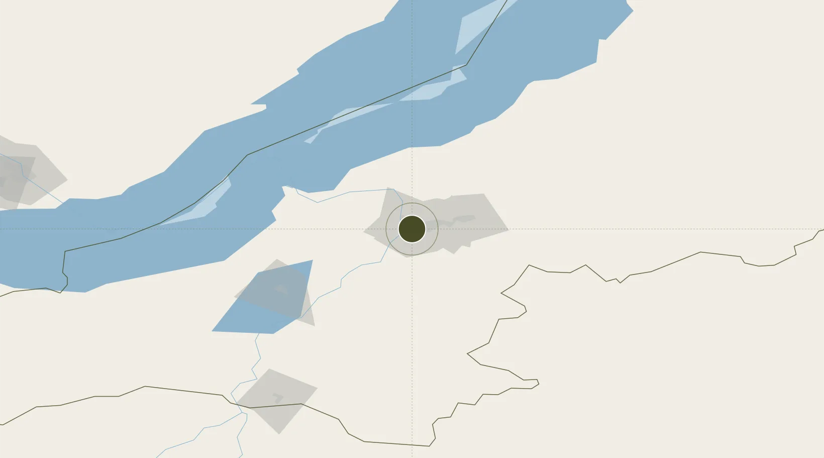
51.8114°, 107.5981°
3,622 ha
Zone area
1,602.8 km
Nearest port
10.5 km
Nearest airport

Gateway access

Nearest neighbours — logibook spatial index (haversine) over the source coordinates

Zone profile

Zone type
Specialized Zone
Open Zone Map
Specialization
Tourism
Open Zone Map
Region
Buryat
Open Zone Map
Status
Active
Open Zone Map
Management
Public-Private Partnership
Open Zone Map
Operator
Metropol Group / Buryatya Republic Economic Authority
Open Zone Map
Legal framework
Federal Law 05.12.2018 N 669,
Open Zone Map

Location

Location of ozm-4026
Natural Earth 10m (public domain) · Buryat · ozm-4026 · 51.81, 107.60GoogleOSMYandex

Nearby Logistics Neighbours

Ports
  1. 1Huludao Gang1603 km
  2. 2Jinzhou Wan1604 km
  3. 3Qinhuangdao1611 km
  4. 4Tianjin Xin Gang1633 km
  5. 5Tangshan (Jingtang)1657 km
Nearest neighbours — logibook spatial index (haversine) over the source coordinates
Airports
  1. 1Ulan-Ude East Airport11 km
  2. 2Baikal International Airport11 km
  3. 3Khuzhir Airport157 km
  4. 4Dzhida Air Base162 km
  5. 5Bada Air Base165 km
Nearest neighbours — logibook spatial index (haversine) over the source coordinates
Cities
  1. 1Badersleben156 km
  2. 2Irkutsk230 km
  3. 3Angarsk266 km
  4. 4Keulrod277 km
  5. 5Haynrode286 km
Nearest neighbours — logibook spatial index (haversine) over the source coordinates
Trade Zones
  1. 1Altanbulag Special Economic Zone186 km
  2. 2Baikal Gates Special Economic Zone241 km
  3. 3Ulanhot Economic and Technological Development Zone720 km
  4. 4Manzhouli Industrial Park738 km
  5. 5Zhalai Nuoer Industrial Park761 km
Nearest neighbours — logibook spatial index (haversine) over the source coordinates
DatabookThe Record of Consolidated Knowledge
Russia beyond logistics?
Browse databook

All Sources

Trade ZonesOpen Zone Map
CC BY
Portsthe NGA World Port Index
Public domain (US gov)
AirportsOurAirports
Public domain
LocationsUN/LOCODE
UN/LOCODE — free
← Russia trade zones