Small airport · Russia

Verkhnevilyuisk AirportUENI
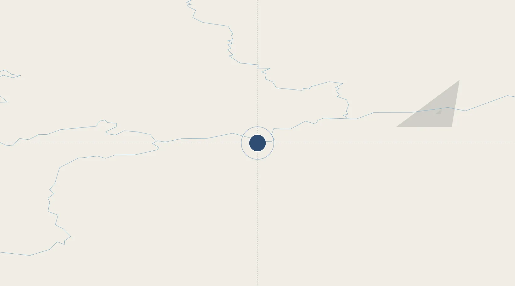
63.4581°, 120.2692°
4,593 ft
Longest runway
1
Runways
411 ft
Elevation

Runway & Layout

Verkhnevilyuisk Airport runway & taxiway layout
Runway & taxiway layout — OpenStreetMap (ODbL) / OurAirports

Runways · 1

RunwayDimensions SurfaceTrue headingLit
04/22 4,593 × —ft Asphalt
OurAirports

Airport Specifications

IATA code
VHV
OurAirports
ICAO code
UENI
OurAirports
Airport class
Small airport
OurAirports
Scheduled service
Yes
OurAirports
Runway surface
Asphalt
OurAirports
Served city
Verkhnevilyuisk
OurAirports

Location

Location of UENI
Natural Earth 10m (public domain) · Sakha (Yakutia) · UENI · 63.46, 120.27GoogleOSMYandex

Nearby Logistics Neighbours

Airports
  1. 1Vilyuisk Airport78 km
  2. 2Kyzyl-Syr Airport133 km
  3. 3Suntar Airport195 km
  4. 4Mirny Airport331 km
  5. 5Olyokminsk Airport340 km
Nearest neighbours — logibook spatial index (haversine) over the source coordinates
Cities
  1. 1Alabel320 km
  2. 2Olekminsk344 km
  3. 3Lensk412 km
  4. 4Vitim607 km
  5. 5Chuya625 km
Nearest neighbours — logibook spatial index (haversine) over the source coordinates
Ports
  1. 1Tiksi979 km
  2. 2Nikolayevsk Na Amur1644 km
  3. 3Lazarev1757 km
  4. 4De Kastri1796 km
  5. 5Bukhta Vanino2002 km
Nearest neighbours — logibook spatial index (haversine) over the source coordinates
DatabookThe Record of Consolidated Knowledge
Russia beyond logistics?
Browse databook

All Sources

AirportsOurAirports
Public domain
Portsthe NGA World Port Index
Public domain (US gov)
LocationsUN/LOCODE
UN/LOCODE — free
Trade Zonesthe World Bank SEZ database
CC BY 4.0
Trade ZonesOpen Zone Map
CC BY
InfrastructureOpenStreetMap
ODbL 1.0
← Russia airports