Small airport · Russia
Suntar AirportUENS
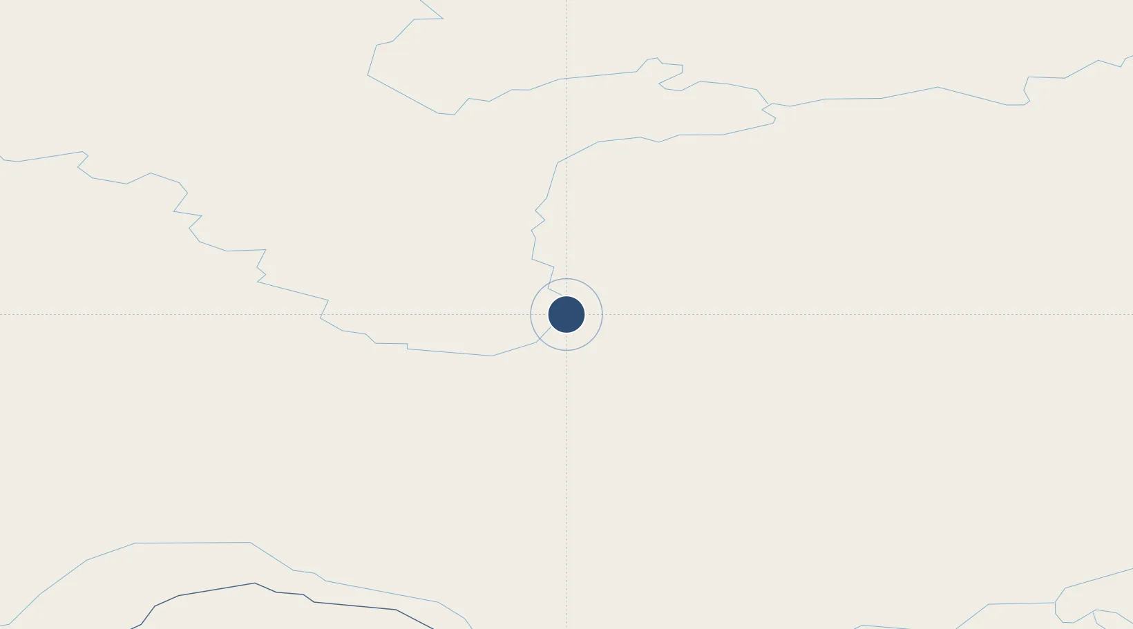
62.1850°, 117.6350°
5,906 ft
Longest runway
1
Runways
452 ft
Elevation
Runway & Layout

Runways · 1
| Runway | Dimensions | Surface | True heading | Lit |
|---|---|---|---|---|
| 17/35 | 5,906 × —ft | Concrete | — | — |
Airport Specifications
IATA code
SUY
ICAO code
UENS
Airport class
Small airport
Scheduled service
Yes
Runway surface
Concrete
Served city
Suntar
Location
Nearby Logistics Neighbours
Airports
- 1Mirny Airport190 km
- 2Verkhnevilyuisk Airport195 km
- 3Lensk Airport221 km
- 4Olyokminsk Airport250 km
- 5Vilyuisk Airport269 km
Ports
- 1Tiksi1156 km
- 2Nikolayevsk Na Amur1688 km
- 3Lazarev1798 km
- 4De Kastri1827 km
- 5Bukhta Vanino2015 km
DatabookThe Record of Consolidated Knowledge
Russia beyond logistics?