Runway & Layout

Airport Specifications
ICAO code
UERA
Airport class
Medium airport
Scheduled service
No
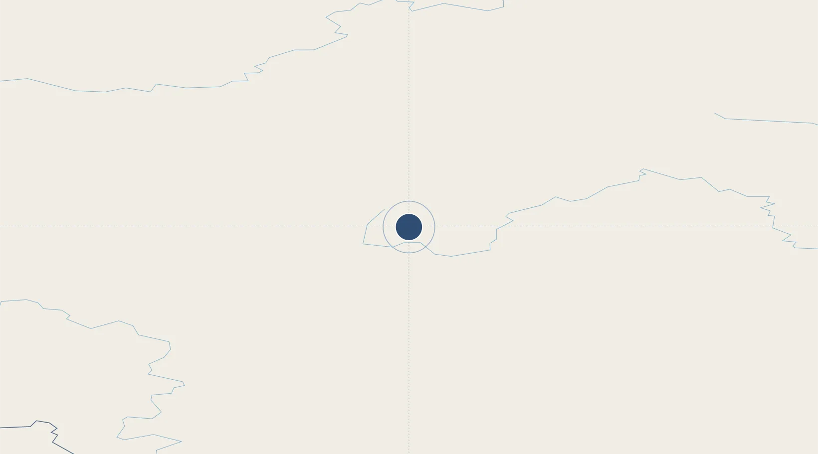
Location
Nearby Logistics Neighbours
Airports
- 1Polyarny Airport54 km
- 2Mirny Airport399 km
- 3Verkhnevilyuisk Airport498 km
- 4Suntar Airport513 km
- 5Vilyuisk Airport538 km
Ports
- 1Tiksi935 km
- 2Igarka1102 km
- 3Dudinka1128 km
- 4Vladivostok2830 km
- 5Slavyanka2842 km
Trade Zones
DatabookThe Record of Consolidated Knowledge
Russia beyond logistics?