Transport Functions
Port
Hub Profile
Region
Irkutsk Oblast
Time zone
Asia/Irkutsk
Elevation
208 m
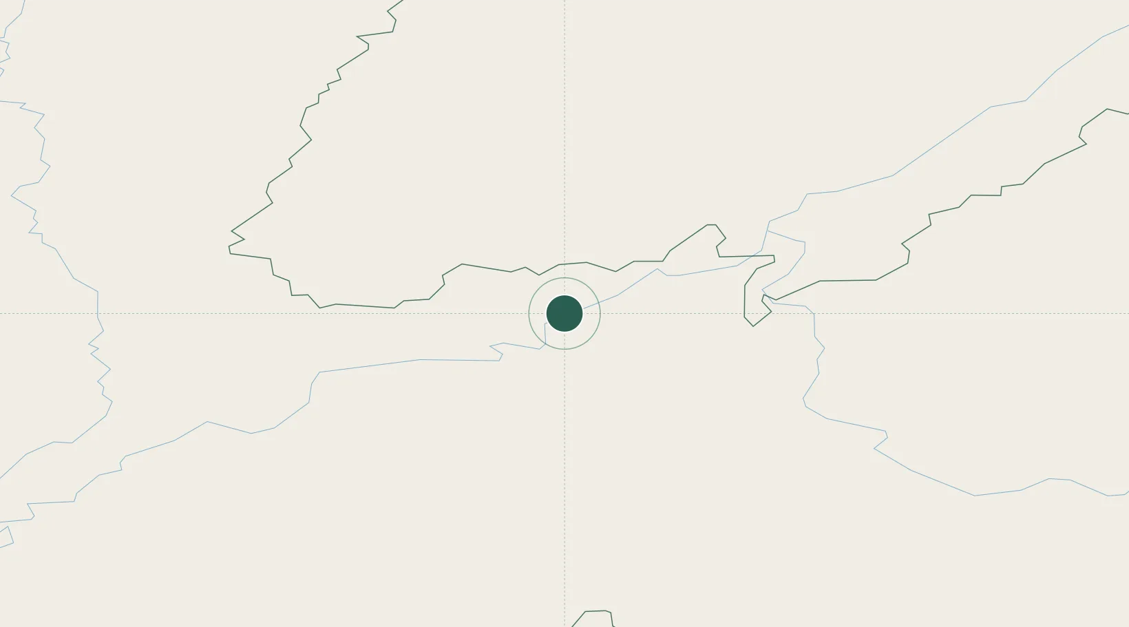
Location
Nearby Logistics Neighbours
Ports
- 1Tiksi1616 km
- 2Jinzhou Wan2136 km
- 3Huludao Gang2139 km
- 4Yingkou2170 km
- 5Qinhuangdao2194 km
Airports
- 1Bodaybo Airport208 km
- 2Lensk Airport277 km
- 3Taksimo Airport359 km
- 4Nizhneangarsk International Airport365 km
- 5Ust-Kut Airport405 km
Trade Zones
- 1Baikal Haven Touristic Zone828 km
- 2Baikal Gates Special Economic Zone943 km
- 3Altanbulag Special Economic Zone1011 km
- 4Tahe Industrial Demonstration Base1113 km
- 5Manzhouli Industrial Park1113 km
DatabookThe Record of Consolidated Knowledge
Russia beyond logistics?