Transport Functions
Port
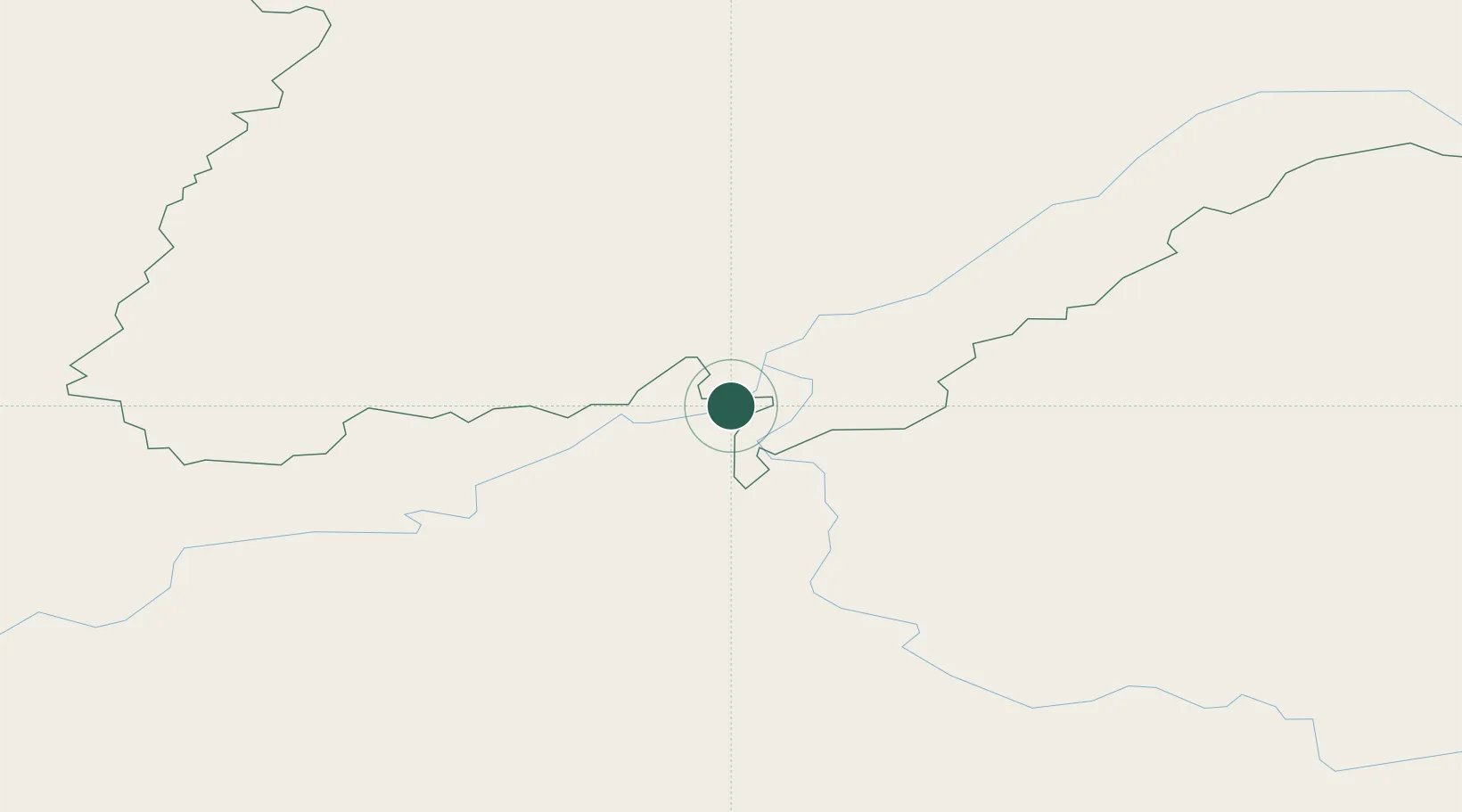
Hub Profile
Place type
Populated place
Region
Irkutsk Oblast
Time zone
Asia/Irkutsk
Elevation
186 m
Location
Nearby Logistics Neighbours
Ports
- 1Tiksi1560 km
- 2Jinzhou Wan2146 km
- 3Huludao Gang2149 km
- 4Yingkou2177 km
- 5Qinhuangdao2208 km
Airports
- 1Bodaybo Airport188 km
- 2Lensk Airport209 km
- 3Taksimo Airport355 km
- 4Mirny Airport374 km
- 5Byas-Kyuyol Airport390 km
Trade Zones
DatabookThe Record of Consolidated Knowledge
Russia beyond logistics?