UN/LOCODE hub · St. Vincent & Grenadines
VCCAN
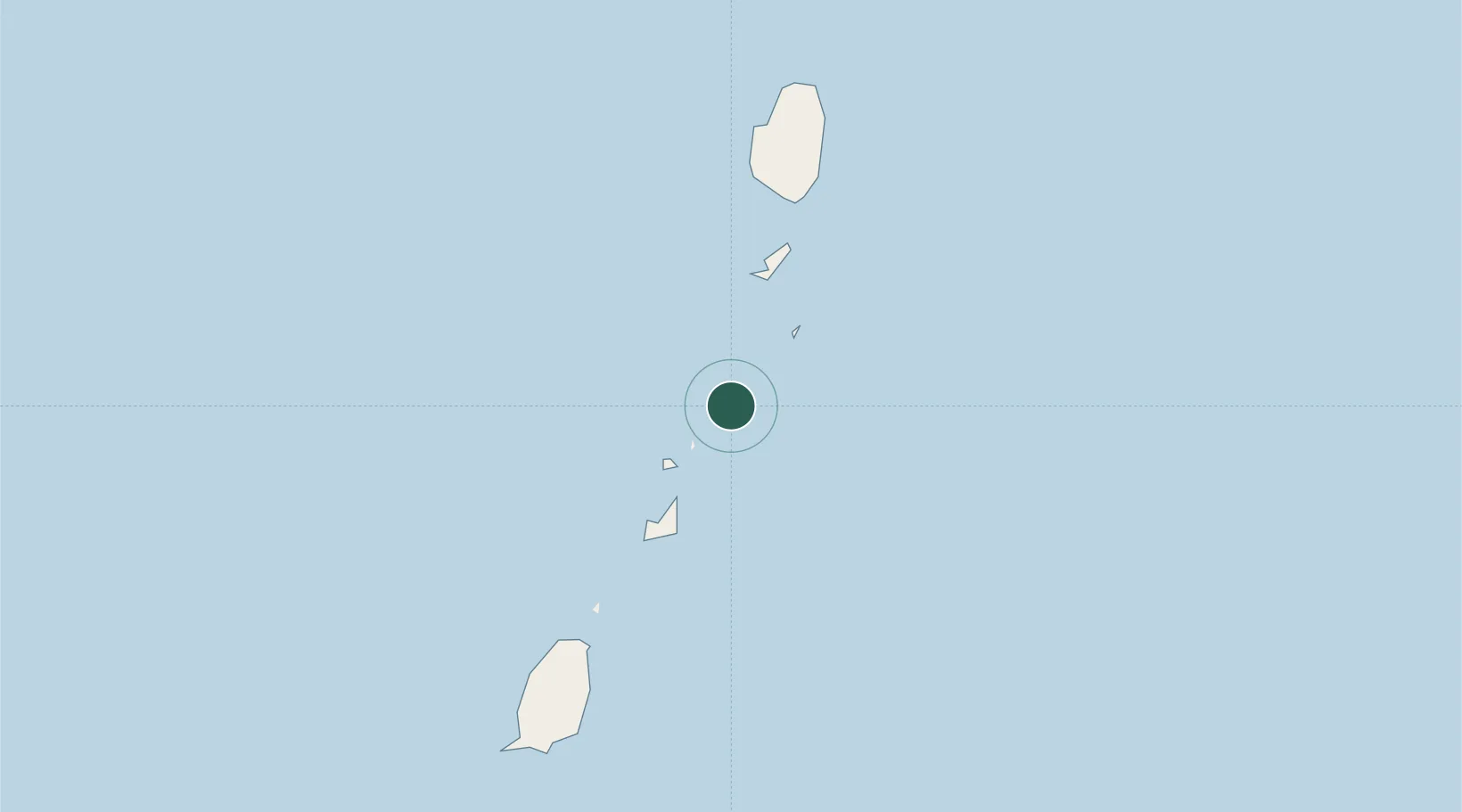
Canouan Island
12.7167°, -61.3167°
1
Transport functions
Transport Functions
Port
Location
Nearby Logistics Neighbours
Cities
- 1Port Elizabeth, Bequia33 km
- 2Kingstown48 km
- 3Campden Park51 km
- 4Georgetown65 km
- 5Vieux Fort119 km
Ports
- 1Kingstown49 km
- 2St George's88 km
- 3Vieux Fort118 km
- 4Grand Cul De Sac Bay145 km
- 5Castries149 km
Airports
- 1Canouan Airport3 km
- 2Union Island International Airport17 km
- 3Mustique Airport24 km
- 4J F Mitchell Airport31 km
- 5Lauriston Airport32 km
DatabookThe Record of Consolidated Knowledge
St. Vincent & Grenadines beyond logistics?