Seaport · Grenada
St George'sGDSTG
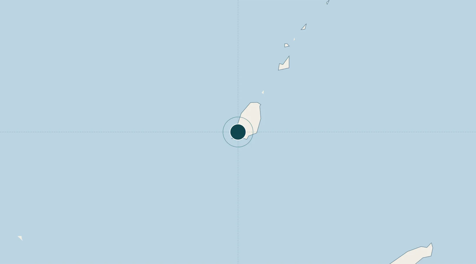
12.0500°, -61.7500°
12.5 m
Channel depth
1
Container terminals
40.5
Port liner connectivity
Channel & Berth Profile
Pilotage, Tugs & Services
Pilotage compulsoryYES
Pilotage availableYES
Pilotage advisableYES
Tug assistanceNO
Salvage tugsNO
Shore powerNO
Potable waterYES
Diesel bunkersYES
MedicalYES
Garbage disposalYES
Facilities & Capabilities
Container—
Ro-Ro—
Liquid bulk—
Dry bulk—
Oil terminal—
Break bulk—
Dry dock—
Repairs—
Bunkering—
Rail link—
Dangerous cargo—
ISPS security—
Harbour Specifications
Harbour size
Small
Harbour type
Coastal (Natural)
Shelter
Fair
Water body
Caribbean Sea; North Atlantic Ocean
Tidal range
1 m
Overhead limit
No
Pilotage
Yes
Liner Connectivity
40.5
PLSCI
Port Liner Shipping Connectivity Index for St George's, as published by UNCTAD for the latest available quarter. Higher values indicate stronger scheduled liner-shipping integration.
Shown relative to the highest per-port PLSCI in the dataset (1,657.9).
Location
Container Terminals · 1
PORT OF ST. GEORGE'S
PSTG GRENADA PORTS AUTHORITY (GPA)
Nearby Logistics Neighbours
Ports
- 1Kingstown135 km
- 2Scarborough147 km
- 3Chaguaramas152 km
- 4Anse Tembladora153 km
- 5Port Of Spain158 km
Cities
- 1Canouan Island88 km
- 2Port Elizabeth, Bequia121 km
- 3Kingstown134 km
- 4Campden Park136 km
- 5Canaan143 km
Airports
- 1Maurice Bishop International Airport6 km
- 2Lauriston Airport56 km
- 3Union Island International Airport71 km
- 4Canouan Airport85 km
- 5Mustique Airport112 km
Trade Zones
DatabookThe Record of Consolidated Knowledge
Grenada beyond logistics?