Medium airport · St. Vincent & Grenadines
Canouan AirportTVSC
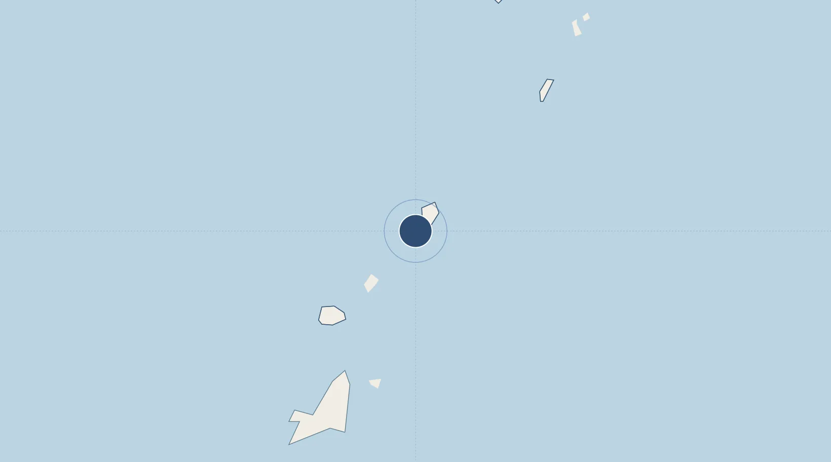
12.6990°, -61.3424°
5,900 ft
Longest runway
1
Runways
11 ft
Elevation
Runway & Layout

Radio Frequencies
TWR
118.05 MHz
GND
121.6 MHz
Navaids
CAI NDB Canouan 302 kHz
Runways · 1
| Runway | Dimensions | Surface | True heading | Lit |
|---|---|---|---|---|
| 13/31 | 5,900 × 98ft | Asphalt | 122° | ✓ |
Airport Specifications
IATA code
CIW
ICAO code
TVSC
Airport class
Medium airport
Scheduled service
Yes
Runway surface
Asphalt
Served city
Canouan
Location
Nearby Logistics Neighbours
Airports
- 1Union Island International Airport13 km
- 2Mustique Airport27 km
- 3Lauriston Airport29 km
- 4J F Mitchell Airport33 km
- 5Argyle International Airport55 km
Cities
- 1Canouan Island3 km
- 2Port Elizabeth, Bequia36 km
- 3Kingstown50 km
- 4Campden Park53 km
- 5Georgetown68 km
Ports
- 1Kingstown52 km
- 2St George's85 km
- 3Vieux Fort120 km
- 4Grand Cul De Sac Bay147 km
- 5Castries151 km
DatabookThe Record of Consolidated Knowledge
St. Vincent & Grenadines beyond logistics?