Medium airport · Guadeloupe

Marie-Galante AirportTFFM
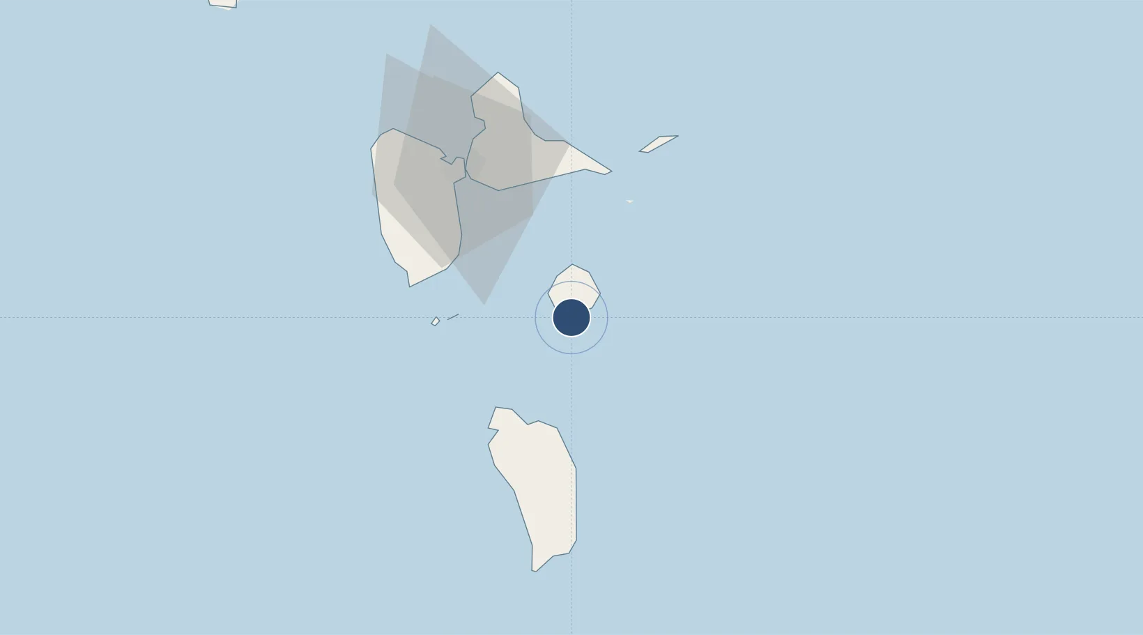
15.8689°, -61.2701°
4,068 ft
Longest runway
1
Runways
16 ft
Elevation

Runway & Layout

Marie-Galante Airport runway & taxiway layout
Runway & taxiway layout — OpenStreetMap (ODbL) / OurAirports

Radio Frequencies

APP
121.3 MHz
RAIZET APP
AFIS
119.3 MHz
OurAirports

Navaids

MG NDB Marie Galante 376 kHz
OurAirports

Runways · 1

RunwayDimensions SurfaceTrue headingLit
09/27 4,068 × 98ft Asphalt 078°
OurAirports

Airport Specifications

IATA code
GBJ
OurAirports
ICAO code
TFFM
OurAirports
Airport class
Medium airport
OurAirports
Scheduled service
Yes
OurAirports
Runway surface
Asphalt
OurAirports
Served city
Grand-Bourg
OurAirports

Location

Location of TFFM
Natural Earth 10m (public domain) · Guadeloupe · TFFM · 15.87, -61.27GoogleOSMYandex

Nearby Logistics Neighbours

Airports
  1. 1Douglas-Charles Airport36 km
  2. 2St-François Airport43 km
  3. 3La Désirade Airport52 km
  4. 4Maryse Condé International Airport52 km
  5. 5Basse-Terre Baillif Airport53 km
Nearest neighbours — logibook spatial index (haversine) over the source coordinates
Cities
  1. 1Grand-Bourg4 km
  2. 2Folle-Anse11 km
  3. 3Anse du Mai32 km
  4. 4Capesterre-Belle-Eau36 km
  5. 5Portsmouth39 km
Nearest neighbours — logibook spatial index (haversine) over the source coordinates
Ports
  1. 1Portsmouth40 km
  2. 2Pointe A Pitre49 km
  3. 3Basse Terre52 km
  4. 4Roseau65 km
  5. 5Port Louis67 km
Nearest neighbours — logibook spatial index (haversine) over the source coordinates

All Sources

AirportsOurAirports
Public domain
Portsthe NGA World Port Index
Public domain (US gov)
LocationsUN/LOCODE
UN/LOCODE — free
Trade Zonesthe World Bank SEZ database
CC BY 4.0
Trade ZonesOpen Zone Map
CC BY
← Guadeloupe airports