Large airport · Venezuela

General José Antonio Anzoategui International AirportSVBC
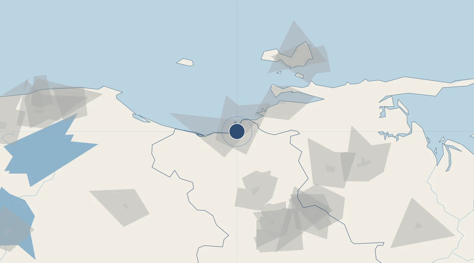
10.1111°, -64.6922°
9,842 ft
Longest runway
2
Runways
30 ft
Elevation

Runway & Layout

General José Antonio Anzoategui International Airport runway & taxiway layout
Runway & taxiway layout — OpenStreetMap (ODbL) / OurAirports

Radio Frequencies

ATIS
127.9 MHz
TWR
118.7 MHz
BARCELONA TWR
GND
121.9 MHz
APP
119.1 MHz
BARCELONA APP
RDO
130.6 MHz
BARCELONA RDO
OurAirports

Navaids

BNA VORTAC Barcelona 115.90 MHz
OurAirports

Runways · 2

RunwayDimensions SurfaceTrue headingLit
15/33 9,842 × 131ft Asphalt 143°
02/20 9,186 × 131ft Asphalt 013°
OurAirports

Airport Specifications

IATA code
BLA
OurAirports
ICAO code
SVBC
OurAirports
Airport class
Large airport
OurAirports
Scheduled service
Yes
OurAirports
Runway surface
Asphalt
OurAirports
Served city
Barcelona
OurAirports

Location

Location of SVBC
Natural Earth 10m (public domain) · Anzoátegui · SVBC · 10.11, -64.69GoogleOSMYandex

Nearby Logistics Neighbours

Airports
  1. 1Antonio José de Sucre Airport72 km
  2. 2Anaco Airport80 km
  3. 3Andrés Miguel Salazar Marcano Airport109 km
  4. 4Del Caribe Santiago Mariño International Airport119 km
  5. 5San Tomé Airport143 km
Nearest neighbours — logibook spatial index (haversine) over the source coordinates
Cities
  1. 1Jose Terminal17 km
  2. 2El Chaure18 km
  3. 3Petrozuata18 km
  4. 4Guanta18 km
  5. 5Puerto Carenero71 km
Nearest neighbours — logibook spatial index (haversine) over the source coordinates
Ports
  1. 1Puerto La Cruz17 km
  2. 2Jose Terminal17 km
  3. 3Bahia De Pertigalete19 km
  4. 4Guanta20 km
  5. 5Cumana (Puerto Sucre)68 km
Nearest neighbours — logibook spatial index (haversine) over the source coordinates
Trade Zones
  1. 1Zona Franca Industrial, Comercial y de Servicios de Cumaná65 km
  2. 2Free Port of the Nueva Esparta State109 km
  3. 3Guarenas-Guatire Special Economic Zone212 km
  4. 4Point Fortin Industrial Park329 km
  5. 5Diamond Vale Industrial Park349 km
Nearest neighbours — logibook spatial index (haversine) over the source coordinates
DatabookThe Record of Consolidated Knowledge
Venezuela beyond logistics?
Browse databook

All Sources

AirportsOurAirports
Public domain
Portsthe NGA World Port Index
Public domain (US gov)
LocationsUN/LOCODE
UN/LOCODE — free
Trade Zonesthe World Bank SEZ database
CC BY 4.0
Trade ZonesOpen Zone Map
CC BY
InfrastructureOpenStreetMap
ODbL 1.0
← Venezuela airports