UN/LOCODE hub · Venezuela
VEGUT

Guanta

10.2458°, -64.5958°
1
Transport functions
1
Container terminals

Transport Functions

Port
Guanta is also a profiled seaport →
UN/LOCODE

Hub Profile

Place type
Provincial seat
GeoNames
Region
Anzoátegui
GeoNames
Time zone
America/Caracas
GeoNames
Elevation
19 m
GeoNames
Logistics facilities
1
UN/LOCODE
Container terminals
1
UN/LOCODE

Location

Location of VEGUT
Natural Earth 10m (public domain) · Anzoátegui · VEGUT · 10.25, -64.60GoogleOSMYandex

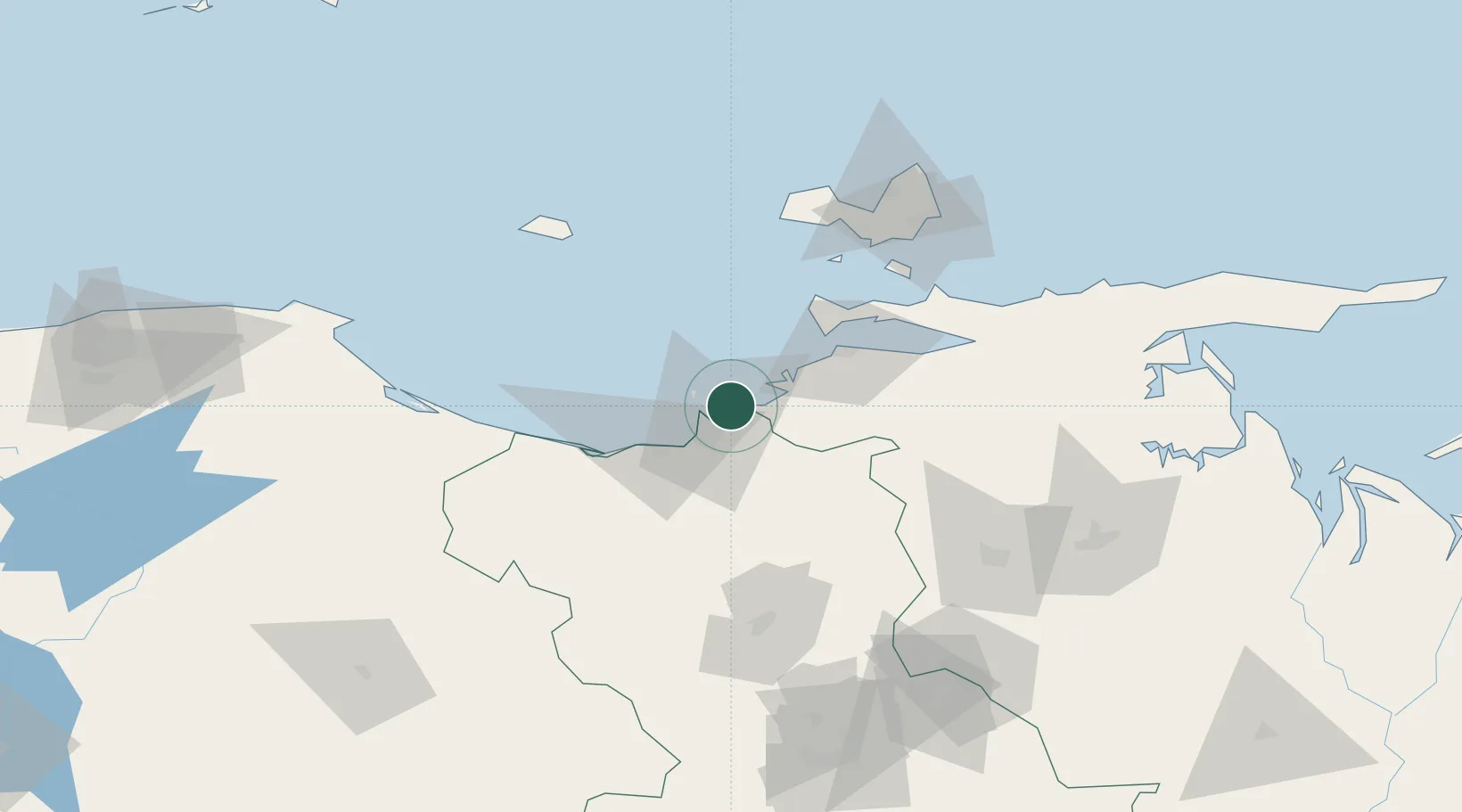
Nearby Logistics Neighbours

Cities
  1. 1El Chaure2 km
  2. 2Petrozuata30 km
  3. 3Jose Terminal32 km
  4. 4Puerto Carenero54 km
  5. 5Agua de Vaca108 km
Nearest neighbours — logibook spatial index (haversine) over the source coordinates
Ports
  1. 1Bahia De Pertigalete4 km
  2. 2Puerto La Cruz4 km
  3. 3Jose Terminal32 km
  4. 4Cumana (Puerto Sucre)51 km
  5. 5El Guamache91 km
Nearest neighbours — logibook spatial index (haversine) over the source coordinates
Airports
  1. 1General José Antonio Anzoategui International Airport18 km
  2. 2Antonio José de Sucre Airport56 km
  3. 3Andrés Miguel Salazar Marcano Airport91 km
  4. 4Anaco Airport92 km
  5. 5Del Caribe Santiago Mariño International Airport101 km
Nearest neighbours — logibook spatial index (haversine) over the source coordinates
Trade Zones
  1. 1Zona Franca Industrial, Comercial y de Servicios de Cumaná49 km
  2. 2Free Port of the Nueva Esparta State90 km
  3. 3Guarenas-Guatire Special Economic Zone220 km
  4. 4Point Fortin Industrial Park319 km
  5. 5Diamond Vale Industrial Park336 km
Nearest neighbours — logibook spatial index (haversine) over the source coordinates
DatabookThe Record of Consolidated Knowledge
Venezuela beyond logistics?
Browse databook

All Sources

LocationsUN/LOCODE
UN/LOCODE — free
Portsthe NGA World Port Index
Public domain (US gov)
AirportsOurAirports
Public domain
Trade Zonesthe World Bank SEZ database
CC BY 4.0
Trade ZonesOpen Zone Map
CC BY
← Venezuela locations