Transport Functions
Port
Hub Profile
Place type
Populated place
Region
Anzoátegui
Time zone
America/Caracas
Elevation
79 m
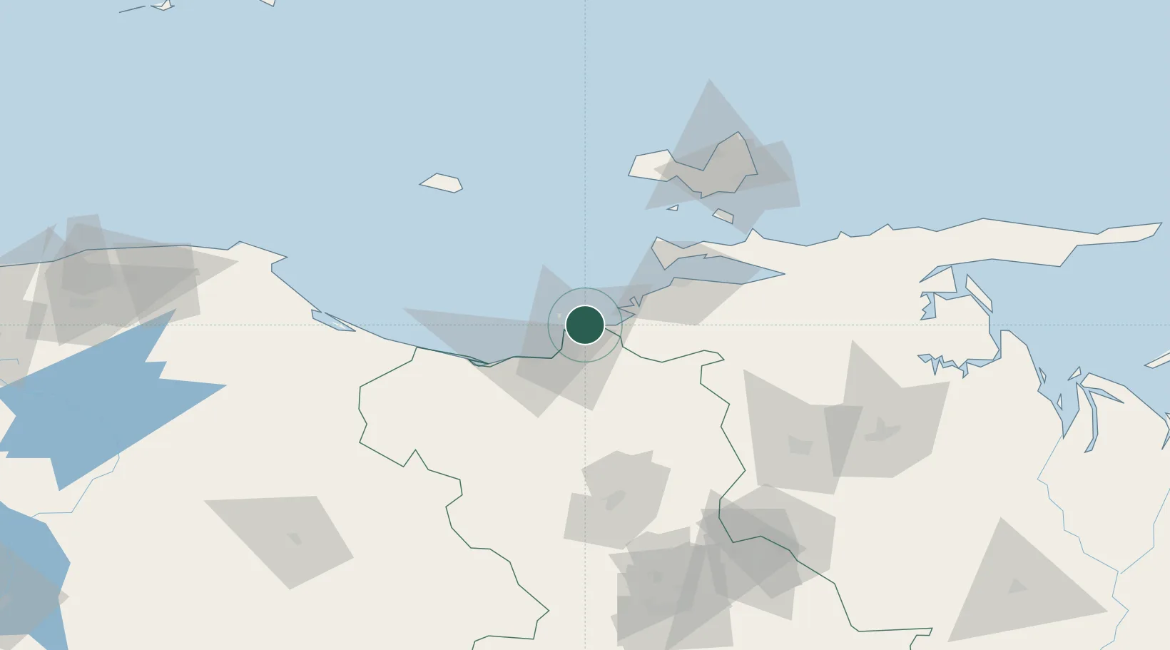
Location
Nearby Logistics Neighbours
Cities
- 1Guanta2 km
- 2Petrozuata28 km
- 3Jose Terminal31 km
- 4Puerto Carenero56 km
- 5Agua de Vaca110 km
Ports
- 1Puerto La Cruz2 km
- 2Guanta4 km
- 3Bahia De Pertigalete6 km
- 4Jose Terminal31 km
- 5Cumana (Puerto Sucre)53 km
Airports
DatabookThe Record of Consolidated Knowledge
Venezuela beyond logistics?