Seaport · Venezuela
La GuairaVELAG
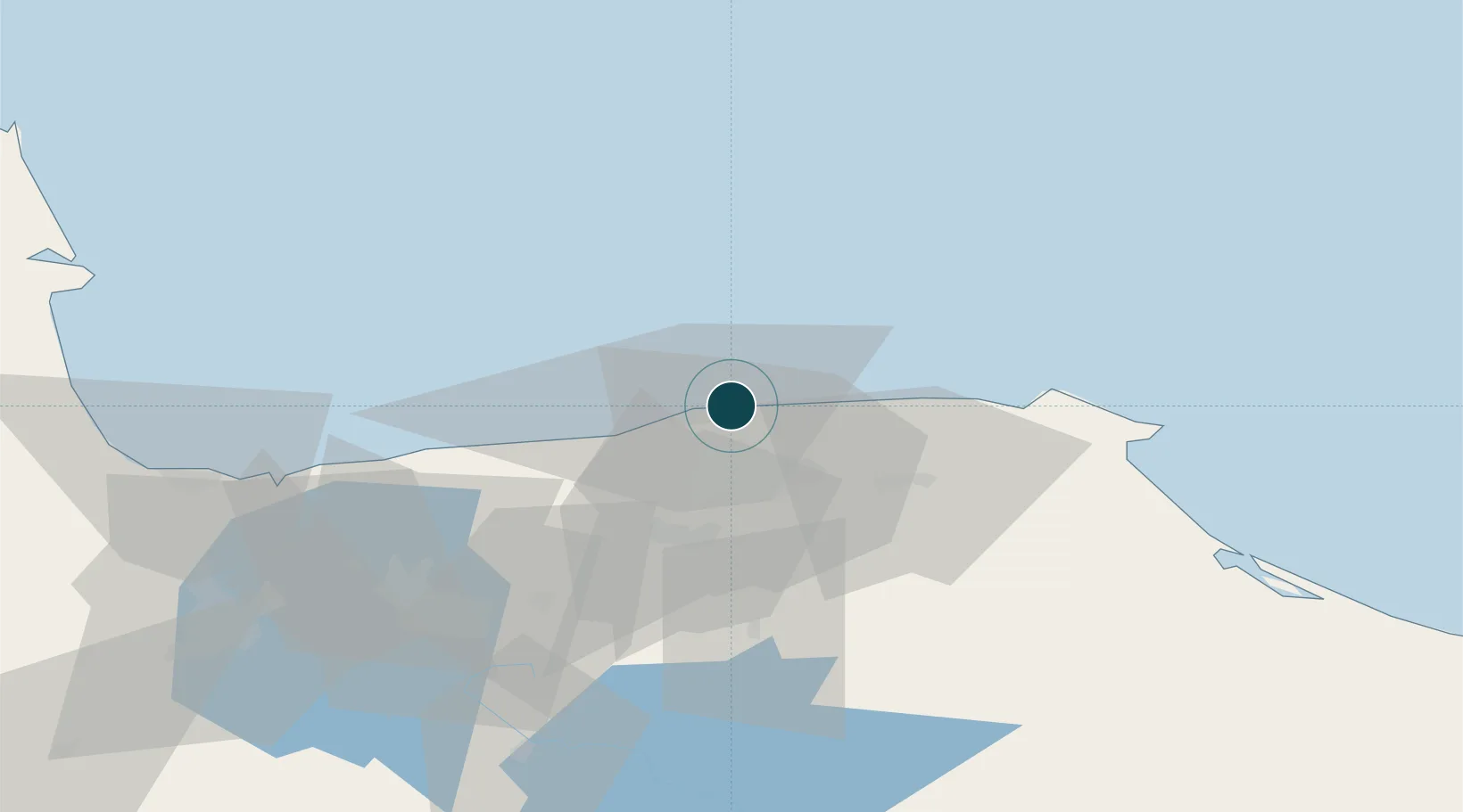
10.6167°, -66.9333°
7.9 m
Channel depth
1
Container terminals
57.7
Port liner connectivity
Channel & Berth Profile
Pilotage, Tugs & Services
Pilotage compulsoryYES
Pilotage availableYES
Tug assistanceYES
MedicalYES
Facilities & Capabilities
ContainerYES
Ro-RoYES
Liquid bulk—
Dry bulkYES
Oil terminal—
Break bulkYES
Dry dock—
RepairsNO
Bunkering—
Rail link—
Dangerous cargo—
ISPS securityYES
Harbour Specifications
Harbour size
Small
Harbour type
Coastal (Breakwater)
Shelter
Good
Water body
Caribbean Sea; North Atlantic Ocean
Tidal range
1 m
Overhead limit
No
Pilotage
Yes
Liner Connectivity
57.7
PLSCI
Port Liner Shipping Connectivity Index for La Guaira, as published by UNCTAD for the latest available quarter. Higher values indicate stronger scheduled liner-shipping integration.
Shown relative to the highest per-port PLSCI in the dataset (1,657.9).
Location
Container Terminals · 1
TERMINAL ESPECIALIZADA DE CONTENEDORES (TEC)
TECLG BOLIVARIANA DE PUERTOS (BOLIPUERTOS), S.A.
Nearby Logistics Neighbours
Ports
- 1Catia La Mar9 km
- 2Puerto Borburata116 km
- 3Puerto Cabello118 km
- 4El Palito130 km
- 5Puerto Chichiriviche149 km
Cities
- 1El Cafetal21 km
- 2El Junquito23 km
- 3Carrizal30 km
- 4Los Teques33 km
- 5Los Anaucos36 km
Airports
Trade Zones
DatabookThe Record of Consolidated Knowledge
Venezuela beyond logistics?