Medium airport · Venezuela

Tucupita AirportSVTC
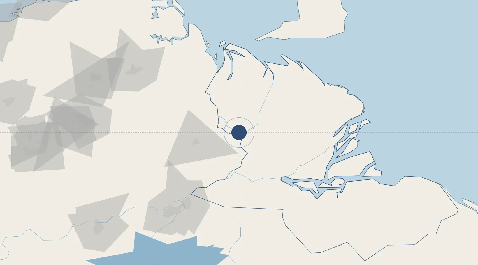
9.0890°, -62.0942°
5,512 ft
Longest runway
1
Runways
16 ft
Elevation

Runway & Layout

Tucupita Airport runway & taxiway layout
Runway & taxiway layout — OpenStreetMap (ODbL) / OurAirports

Navaids

TUC NDB Tucupita 225 kHz
OurAirports

Runways · 1

RunwayDimensions SurfaceTrue headingLit
07/25 5,512 × 131ft Asphalt 065°
OurAirports

Airport Specifications

IATA code
TUV
OurAirports
ICAO code
SVTC
OurAirports
Airport class
Medium airport
OurAirports
Scheduled service
No
OurAirports
Runway surface
Asphalt
OurAirports
Served city
Tucupita
OurAirports

Location

Location of SVTC
Natural Earth 10m (public domain) · Delta Amacuro · SVTC · 9.09, -62.09GoogleOSMYandex

Nearby Logistics Neighbours

Airports
  1. 1General Manuel Carlos Piar International Airport115 km
  2. 2José Tadeo Monagas International Airport137 km
  3. 3Guiria Airport167 km
  4. 4Piarco International Airport187 km
  5. 5General Tomas de Heres Airport192 km
Nearest neighbours — logibook spatial index (haversine) over the source coordinates
Cities
  1. 1Palúa104 km
  2. 2Scotland125 km
  3. 3Siparia133 km
  4. 4South Oropouche139 km
  5. 5Saint Mary's140 km
Nearest neighbours — logibook spatial index (haversine) over the source coordinates
Ports
  1. 1Palua103 km
  2. 2Puerto Ordaz107 km
  3. 3Point Fortin131 km
  4. 4Brighton139 km
  5. 5Pointe A Pierre153 km
Nearest neighbours — logibook spatial index (haversine) over the source coordinates
Trade Zones
  1. 1Point Fortin Industrial Park129 km
  2. 2Debe Industrial Park145 km
  3. 3Moruga Agro-Processing and Light Industrial Park151 km
  4. 4Harmony Hall Industrial Park154 km
  5. 5Plaisance Industrial Park156 km
Nearest neighbours — logibook spatial index (haversine) over the source coordinates
DatabookThe Record of Consolidated Knowledge
Venezuela beyond logistics?
Browse databook

All Sources

AirportsOurAirports
Public domain
Portsthe NGA World Port Index
Public domain (US gov)
LocationsUN/LOCODE
UN/LOCODE — free
Trade Zonesthe World Bank SEZ database
CC BY 4.0
Trade ZonesOpen Zone Map
CC BY
InfrastructureOpenStreetMap
ODbL 1.0
← Venezuela airports