Medium airport · Venezuela

El Dorado AirportSVED
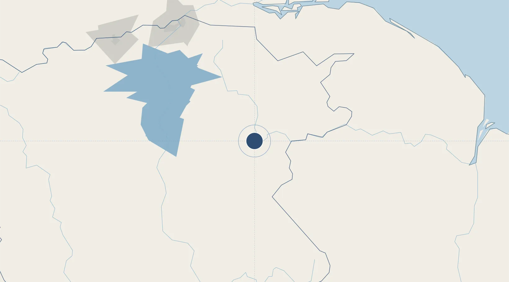
6.7157°, -61.6388°
4,000 ft
Longest runway
1
Runways
318 ft
Elevation

Runway & Layout

El Dorado Airport runway & taxiway layout
Runway & taxiway layout — OpenStreetMap (ODbL) / OurAirports

Navaids

ELO NDB El Dorado 325 kHz
OurAirports

Runways · 1

RunwayDimensions SurfaceTrue headingLit
08/26 4,000 × 125ft Asphalt 088°
OurAirports

Airport Specifications

IATA code
EOR
OurAirports
ICAO code
SVED
OurAirports
Airport class
Medium airport
OurAirports
Scheduled service
No
OurAirports
Runway surface
Asphalt
OurAirports
Served city
Bolivar
OurAirports

Location

Location of SVED
Natural Earth 10m (public domain) · Bolívar · SVED · 6.72, -61.64GoogleOSMYandex

Nearby Logistics Neighbours

Airports
  1. 1Tumeremo Airport61 km
  2. 2Canaima Airport145 km
  3. 3General Manuel Carlos Piar International Airport214 km
  4. 4Santa Elena de Uairén Airport246 km
  5. 5General Tomas de Heres Airport261 km
Nearest neighbours — logibook spatial index (haversine) over the source coordinates
Cities
  1. 1Scotland165 km
  2. 2Palúa214 km
  3. 3Santa Elena de Uairén240 km
  4. 4Pacaraima256 km
  5. 5Ciudad Bolívar262 km
Nearest neighbours — logibook spatial index (haversine) over the source coordinates
Ports
  1. 1Palua217 km
  2. 2Puerto Ordaz217 km
  3. 3Ciudad Bolivar263 km
  4. 4Linden378 km
  5. 5Georgetown384 km
Nearest neighbours — logibook spatial index (haversine) over the source coordinates
Trade Zones
  1. 1Free Port of Santa Elena de Uairén242 km
  2. 2Ruimveldt Industrial Estate384 km
  3. 3Eccles Industrial Estate384 km
  4. 4Point Fortin Industrial Park385 km
  5. 5Moruga Agro-Processing and Light Industrial Park389 km
Nearest neighbours — logibook spatial index (haversine) over the source coordinates
DatabookThe Record of Consolidated Knowledge
Venezuela beyond logistics?
Browse databook

All Sources

AirportsOurAirports
Public domain
Portsthe NGA World Port Index
Public domain (US gov)
LocationsUN/LOCODE
UN/LOCODE — free
Trade Zonesthe World Bank SEZ database
CC BY 4.0
Trade ZonesOpen Zone Map
CC BY
InfrastructureOpenStreetMap
ODbL 1.0
← Venezuela airports