Seaport · Guyana
GeorgetownGYGEO
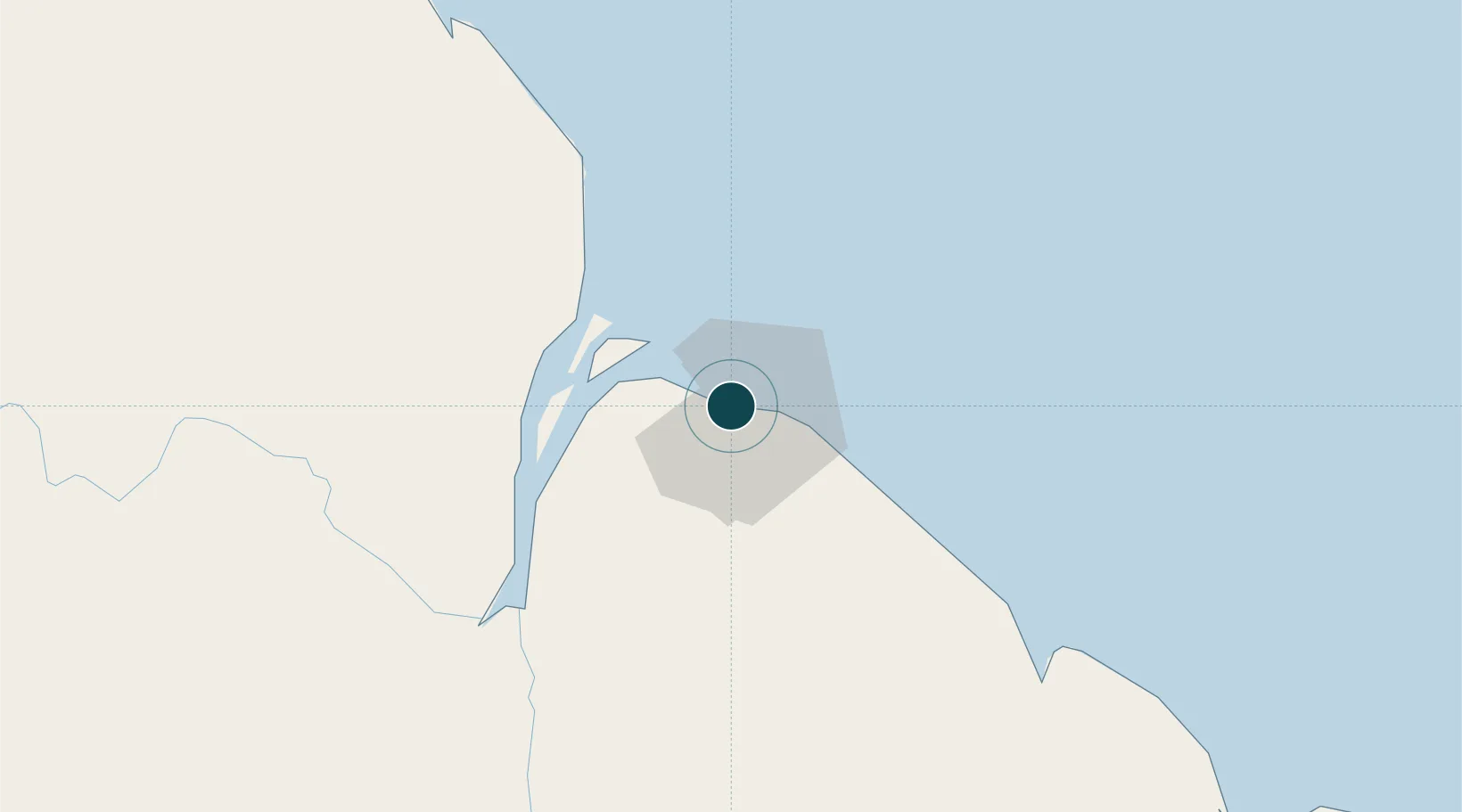
6.8333°, -58.1667°
6.9 m
Channel depth
2
Container terminals
100.2
Port liner connectivity
Channel & Berth Profile
Pilotage, Tugs & Services
Pilotage compulsoryYES
Pilotage availableYES
Tug assistanceYES
Salvage tugsNO
Potable waterYES
Diesel bunkersYES
MedicalYES
Facilities & Capabilities
Container—
Ro-Ro—
Liquid bulk—
Dry bulk—
Oil terminal—
Break bulk—
Dry dockNO
RepairsNO
Bunkering—
Rail linkYES
Dangerous cargo—
ISPS security—
Harbour Specifications
Harbour size
Medium
Harbour type
River (Natural)
Shelter
Good
Water body
North Atlantic Ocean
Tidal range
2.6 m
Overhead limit
Yes
Pilotage
Yes
Liner Connectivity
100.2
PLSCI
Port Liner Shipping Connectivity Index for Georgetown, as published by UNCTAD for the latest available quarter. Higher values indicate stronger scheduled liner-shipping integration.
Shown relative to the highest per-port PLSCI in the dataset (1,657.9).
Location
Container Terminals · 2
JOHN FERNANDES WHARF
JFL JOHN FERNANDES LTD.
MUNESHWERS WHARF GEORGETOWN
MUN MUNESHWERS LIMITED GUYANA
Nearby Logistics Neighbours
Ports
- 1Linden94 km
- 2New Amsterdam97 km
- 3Nieuw Nickerie162 km
- 4Paramaribo350 km
- 5Paranam365 km
Cities
- 1Everton21 km
- 2Agricola Village41 km
- 3Adventure45 km
- 4Rosignol93 km
- 5Linden94 km
Airports
Trade Zones
DatabookThe Record of Consolidated Knowledge
Guyana beyond logistics?