UN/LOCODE hub · Venezuela
VESEU
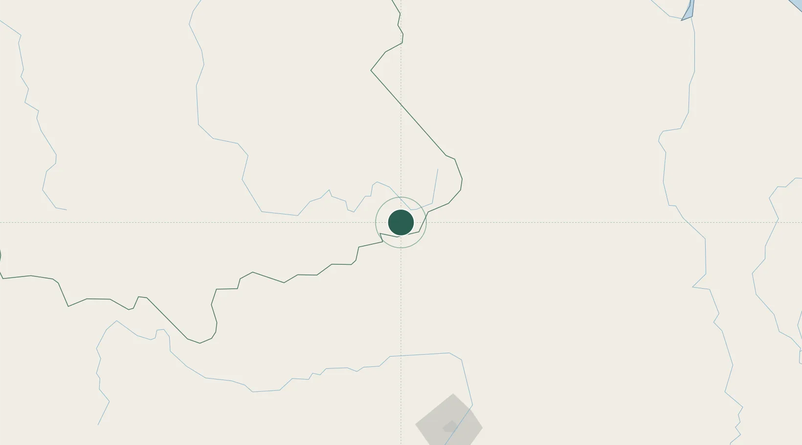
Santa Elena de Uairén
4.6167°, -61.1333°
29,795
Population
1
Transport functions
Transport Functions
Multimodal
Hub Profile
Place type
Provincial seat
Region
Bolívar
Population
29,795
Time zone
America/Caracas
Elevation
868 m
Location
Nearby Logistics Neighbours
Ports
- 1Linden349 km
- 2Georgetown411 km
- 3New Amsterdam440 km
- 4Puerto Ordaz451 km
- 5Palua451 km
Airports
- 1Santa Elena de Uairén Airport7 km
- 2Kaieteur Airport193 km
- 3Atlas Brasil Cantanhede International Airport203 km
- 4Lethem Airport203 km
- 5El Dorado Airport240 km
Trade Zones
- 1Free Port of Santa Elena de Uairén3 km
- 2Lethem Industrial Estate201 km
- 3ZPE de Boa Vista (RR)206 km
- 4Eccles Industrial Estate407 km
- 5Ruimveldt Industrial Estate408 km
DatabookThe Record of Consolidated Knowledge
Venezuela beyond logistics?