Medium airport · Venezuela

Tumeremo AirportSVTM
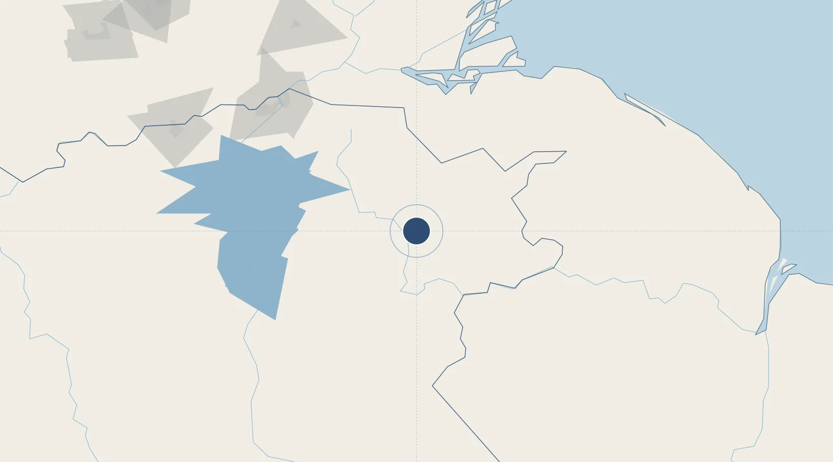
7.2494°, -61.5289°
9,765 ft
Longest runway
1
Runways
345 ft
Elevation

Runway & Layout

Tumeremo Airport runway & taxiway layout
Runway & taxiway layout — OpenStreetMap (ODbL) / OurAirports

Navaids

TMO VOR-DME Tumeremo 114.40 MHz
TMO NDB Tumeremo 215 kHz
OurAirports

Runways · 1

RunwayDimensions SurfaceTrue headingLit
08/26 9,765 × 125ft Asphalt 068°
OurAirports

Airport Specifications

IATA code
TMO
OurAirports
ICAO code
SVTM
OurAirports
Airport class
Medium airport
OurAirports
Scheduled service
No
OurAirports
Runway surface
Asphalt
OurAirports

Location

Location of SVTM
Natural Earth 10m (public domain) · Bolívar · SVTM · 7.25, -61.53GoogleOSMYandex

Nearby Logistics Neighbours

Airports
  1. 1El Dorado Airport61 km
  2. 2General Manuel Carlos Piar International Airport178 km
  3. 3Canaima Airport185 km
  4. 4Tucupita Airport214 km
  5. 5General Tomas de Heres Airport242 km
Nearest neighbours — logibook spatial index (haversine) over the source coordinates
Cities
  1. 1Scotland126 km
  2. 2Palúa175 km
  3. 3Ciudad Bolívar243 km
  4. 4Santa Elena de Uairén296 km
  5. 5Pacaraima313 km
Nearest neighbours — logibook spatial index (haversine) over the source coordinates
Ports
  1. 1Palua178 km
  2. 2Puerto Ordaz179 km
  3. 3Ciudad Bolivar243 km
  4. 4Galeota Point Terminal326 km
  5. 5Point Fortin329 km
Nearest neighbours — logibook spatial index (haversine) over the source coordinates
Trade Zones
  1. 1Free Port of Santa Elena de Uairén298 km
  2. 2Point Fortin Industrial Park326 km
  3. 3Moruga Agro-Processing and Light Industrial Park329 km
  4. 4Debe Industrial Park329 km
  5. 5Harmony Hall Industrial Park341 km
Nearest neighbours — logibook spatial index (haversine) over the source coordinates
DatabookThe Record of Consolidated Knowledge
Venezuela beyond logistics?
Browse databook

All Sources

AirportsOurAirports
Public domain
Portsthe NGA World Port Index
Public domain (US gov)
LocationsUN/LOCODE
UN/LOCODE — free
Trade Zonesthe World Bank SEZ database
CC BY 4.0
Trade ZonesOpen Zone Map
CC BY
InfrastructureOpenStreetMap
ODbL 1.0
← Venezuela airports