Medium airport · Venezuela
Santa Elena de Uairén AirportSVSE
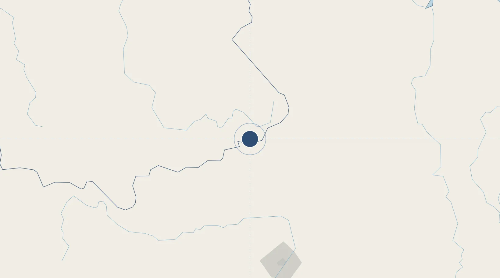
4.5547°, -61.1452°
5,445 ft
Longest runway
1
Runways
2,938 ft
Elevation
Runway & Layout

Radio Frequencies
LDP
117.7 MHz
La Divina Pastora
Runways · 1
| Runway | Dimensions | Surface | True heading | Lit |
|---|---|---|---|---|
| 11/29 | 5,445 × 98ft | Asphalt | 102° | — |
Airport Specifications
IATA code
SNV
ICAO code
SVSE
Airport class
Medium airport
Scheduled service
Yes
Runway surface
Asphalt
Served city
Santa Elena de Uairén
Location
Nearby Logistics Neighbours
Airports
- 1Kaieteur Airport196 km
- 2Atlas Brasil Cantanhede International Airport197 km
- 3Lethem Airport200 km
- 4El Dorado Airport246 km
- 5Canaima Airport266 km
Cities
- 1Santa Elena de Uairén7 km
- 2Pacaraima10 km
- 3Bonfim195 km
- 4Caracaraí306 km
- 5Kinkora321 km
Ports
- 1Linden354 km
- 2Georgetown416 km
- 3New Amsterdam444 km
- 4Puerto Ordaz456 km
- 5Palua457 km
Trade Zones
- 1Free Port of Santa Elena de Uairén7 km
- 2Lethem Industrial Estate198 km
- 3ZPE de Boa Vista (RR)200 km
- 4Eccles Industrial Estate412 km
- 5Ruimveldt Industrial Estate413 km
DatabookThe Record of Consolidated Knowledge
Venezuela beyond logistics?