Medium airport · Venezuela
Canaima AirportSVCN
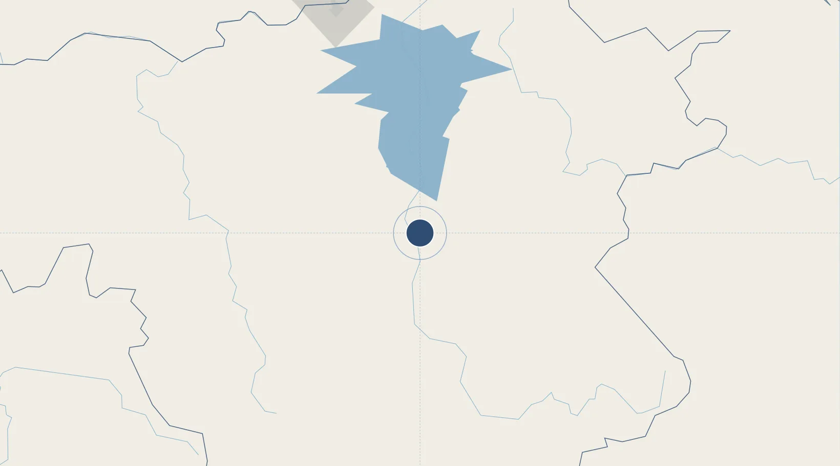
6.2320°, -62.8548°
7,070 ft
Longest runway
1
Runways
1,450 ft
Elevation
Runway & Layout

Radio Frequencies
TWR
118.5 MHz
RDO
131.2 MHz
Navaids
CMA VOR-DME Canaima 117.50 MHz
Runways · 1
| Runway | Dimensions | Surface | True heading | Lit |
|---|---|---|---|---|
| 01/19 | 7,070 × 98ft | Asphalt | 354° | — |
Airport Specifications
IATA code
CAJ
ICAO code
SVCN
Airport class
Medium airport
Scheduled service
Yes
Runway surface
Asphalt
Served city
Canaima
Location
Nearby Logistics Neighbours
Airports
- 1El Dorado Airport145 km
- 2Tumeremo Airport185 km
- 3General Tomas de Heres Airport223 km
- 4General Manuel Carlos Piar International Airport229 km
- 5Santa Elena de Uairén Airport266 km
Cities
- 1Kinkora183 km
- 2Scotland203 km
- 3Ciudad Bolívar223 km
- 4Palúa236 km
- 5Santa Elena de Uairén262 km
Ports
- 1Ciudad Bolivar225 km
- 2Puerto Ordaz236 km
- 3Palua238 km
- 4Caripito436 km
- 5Point Fortin459 km
Trade Zones
- 1Free Port of Santa Elena de Uairén265 km
- 2ZPE de Boa Vista (RR)449 km
- 3Point Fortin Industrial Park457 km
- 4Lethem Industrial Estate463 km
- 5Debe Industrial Park469 km
DatabookThe Record of Consolidated Knowledge
Venezuela beyond logistics?