Transport Functions
Road
Multimodal
Hub Profile
Place type
Provincial seat
Region
Roraima
Time zone
America/Boa_Vista
Elevation
1,004 m
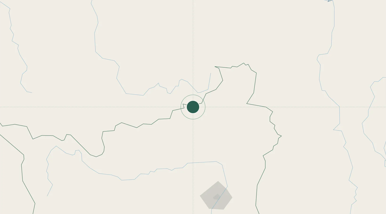
Location
Nearby Logistics Neighbours
Cities
- 1Santa Elena de Uairén17 km
- 2Bonfim188 km
- 3Caracaraí297 km
- 4Kinkora324 km
- 5Linden359 km
Ports
- 1Linden357 km
- 2Georgetown421 km
- 3New Amsterdam447 km
- 4Puerto Ordaz466 km
- 5Palua466 km
Airports
- 1Santa Elena de Uairén Airport10 km
- 2Atlas Brasil Cantanhede International Airport187 km
- 3Lethem Airport192 km
- 4Kaieteur Airport199 km
- 5El Dorado Airport256 km
Trade Zones
- 1Free Port of Santa Elena de Uairén15 km
- 2ZPE de Boa Vista (RR)190 km
- 3Lethem Industrial Estate190 km
- 4Eccles Industrial Estate417 km
- 5Ruimveldt Industrial Estate418 km
DatabookThe Record of Consolidated Knowledge
Brazil beyond logistics?