Large airport · Venezuela

Del Caribe Santiago Mariño International AirportSVMG
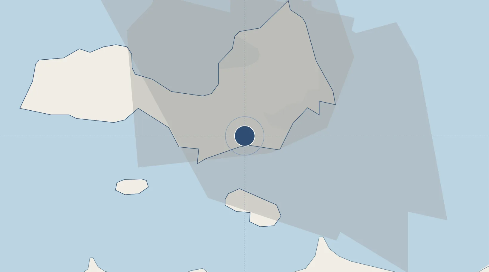
10.9126°, -63.9666°
10,433 ft
Longest runway
2
Runways
74 ft
Elevation

Runway & Layout

Del Caribe Santiago Mariño International Airport runway & taxiway layout
Runway & taxiway layout — OpenStreetMap (ODbL) / OurAirports

Radio Frequencies

ATIS
114.1 MHz
TWR
118.6 MHz
GND
121.9 MHz
APP
119.9 MHz
MARGARITA APP
OurAirports

Navaids

MT NDB Giles 218 kHz
MTA VOR-DME Margarita 114.10 MHz
MTA NDB Margarita 206 kHz
OurAirports

Runways · 2

RunwayDimensions SurfaceTrue headingLit
09/27 10,433 × 150ft Asphalt 078°
09L/27R 9,629 × 100ft Asphalt 078°
OurAirports

Airport Specifications

IATA code
PMV
OurAirports
ICAO code
SVMG
OurAirports
Airport class
Large airport
OurAirports
Scheduled service
Yes
OurAirports
Runway surface
Asphalt
OurAirports
Served city
Isla Margarita
OurAirports

Location

Location of SVMG
Natural Earth 10m (public domain) · Nueva Esparta · SVMG · 10.91, -63.97GoogleOSMYandex

Nearby Logistics Neighbours

Cities
  1. 1Agua de Vaca10 km
  2. 2La Asuncion16 km
  3. 3Puerto Carenero53 km
  4. 4Guanta101 km
  5. 5El Chaure102 km
Nearest neighbours — logibook spatial index (haversine) over the source coordinates
Ports
  1. 1El Guamache15 km
  2. 2Cumana (Puerto Sucre)55 km
  3. 3Carupano82 km
  4. 4Guanta100 km
  5. 5Bahia De Pertigalete100 km
Nearest neighbours — logibook spatial index (haversine) over the source coordinates
Trade Zones
  1. 1Free Port of the Nueva Esparta State12 km
  2. 2Zona Franca Industrial, Comercial y de Servicios de Cumaná58 km
  3. 3Point Fortin Industrial Park262 km
  4. 4Diamond Vale Industrial Park263 km
  5. 5Abbatoir270 km
Nearest neighbours — logibook spatial index (haversine) over the source coordinates
DatabookThe Record of Consolidated Knowledge
Venezuela beyond logistics?
Browse databook

All Sources

AirportsOurAirports
Public domain
Portsthe NGA World Port Index
Public domain (US gov)
LocationsUN/LOCODE
UN/LOCODE — free
Trade Zonesthe World Bank SEZ database
CC BY 4.0
Trade ZonesOpen Zone Map
CC BY
InfrastructureOpenStreetMap
ODbL 1.0
← Venezuela airports