Medium airport · Peru

Francisco Carle AirportSPJJ
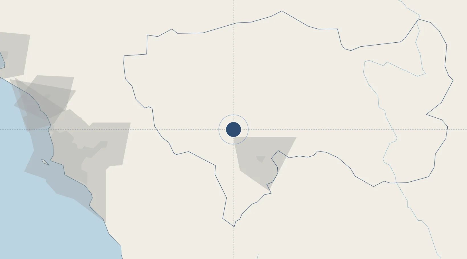
-11.7831°, -75.4734°
9,220 ft
Longest runway
1
Runways
11,034 ft
Elevation

Runway & Layout

Francisco Carle Airport runway & taxiway layout
Runway & taxiway layout — OpenStreetMap (ODbL) / OurAirports

Radio Frequencies

RDO
126.9 MHz
JAUJA RDO
OurAirports

Runways · 1

RunwayDimensions SurfaceTrue headingLit
13/31 9,220 × 148ft Asphalt 128°
OurAirports

Airport Specifications

IATA code
JAU
OurAirports
ICAO code
SPJJ
OurAirports
Airport class
Medium airport
OurAirports
Scheduled service
Yes
OurAirports
Runway surface
Asphalt
OurAirports
Served city
Jauja
OurAirports

Location

Location of SPJJ
Natural Earth 10m (public domain) · Junín · SPJJ · -11.78, -75.47GoogleOSMYandex

Nearby Logistics Neighbours

Airports
  1. 1Huancayo Airport44 km
  2. 2Jorge Chávez International Airport181 km
  3. 3Pozuzo Airport191 km
  4. 4Air Force Colonel Alfredo Mendivil Duarte Airport206 km
  5. 5Teniente General Gerardo Pérez Pinedo Airport220 km
Nearest neighbours — logibook spatial index (haversine) over the source coordinates
Cities
  1. 1Magdalena82 km
  2. 2Quinches92 km
  3. 3Cerro de Pasco150 km
  4. 4San Bartolo157 km
  5. 5Monterrico Chico166 km
Nearest neighbours — logibook spatial index (haversine) over the source coordinates
Ports
  1. 1Conchan Oil Terminal171 km
  2. 2La Pampilla Oil Terminal181 km
  3. 3Puerto Del Callao185 km
  4. 4Bahia De Ancon186 km
  5. 5Chancay195 km
Nearest neighbours — logibook spatial index (haversine) over the source coordinates
DatabookThe Record of Consolidated Knowledge
Peru beyond logistics?
Browse databook

All Sources

AirportsOurAirports
Public domain
Portsthe NGA World Port Index
Public domain (US gov)
LocationsUN/LOCODE
UN/LOCODE — free
Trade Zonesthe World Bank SEZ database
CC BY 4.0
Trade ZonesOpen Zone Map
CC BY
InfrastructureOpenStreetMap
ODbL 1.0
← Peru airports