Medium airport · Peru
Captain Pedro Canga Rodríguez International AirportSPME
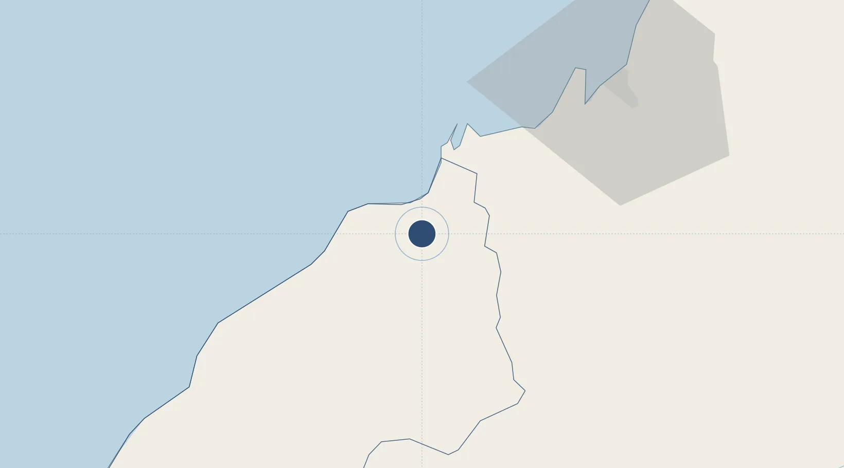
-3.5521°, -80.3811°
8,202 ft
Longest runway
1
Runways
115 ft
Elevation
Runway & Layout

Radio Frequencies
TWR
118.7 MHz
TUMBES APP/TWR
Navaids
BES VOR Tumbes 112.90 MHz
BES NDB Tumbes 290 kHz
Runways · 1
| Runway | Dimensions | Surface | True heading | Lit |
|---|---|---|---|---|
| 14/32 | 8,202 × 148ft | Asphalt | 141° | ✓ |
Airport Specifications
IATA code
TBP
ICAO code
SPME
Airport class
Medium airport
Scheduled service
Yes
Runway surface
Asphalt
Served city
Tumbes
Location
Nearby Logistics Neighbours
Airports
Cities
- 1Puerto Bolívar57 km
- 2Puerto Balao Grande95 km
- 3Posorja97 km
- 4Playas102 km
- 5Puná105 km
Ports
- 1Puerto Bolivar53 km
- 2Puerto Cabo Blanco122 km
- 3Caleta Lobitos141 km
- 4Puerto Maritimo De Guayaquil151 km
- 5Talara152 km
Trade Zones
- 1Zona Franca del Oro60 km
- 2Posorja ZofraPort SA Free Zone96 km
- 3DP World Posorja97 km
- 4Contecon Guayaquil Free Zone151 km
- 5Zona Franca Esmeraldas163 km
DatabookThe Record of Consolidated Knowledge
Peru beyond logistics?