Small airport · Ecuador

Ciudad de Catamayo AirportSETM
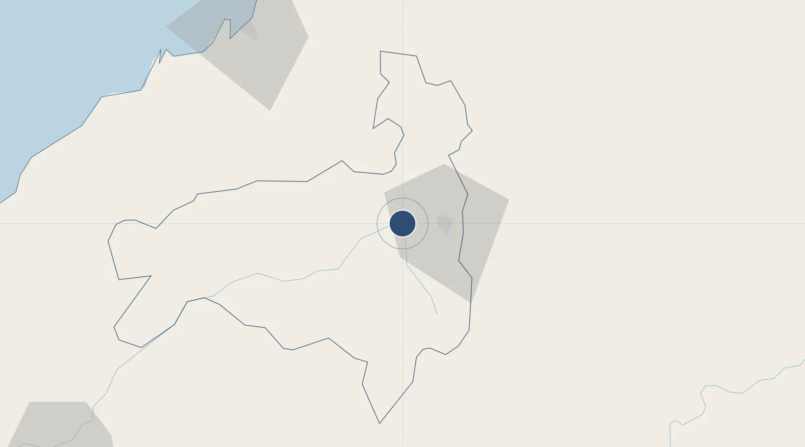
-3.9956°, -79.3719°
6,725 ft
Longest runway
1
Runways
4,056 ft
Elevation

Runway & Layout

Ciudad de Catamayo Airport runway & taxiway layout
Runway & taxiway layout — OpenStreetMap (ODbL) / OurAirports

Radio Frequencies

TWR
122.2 MHz
LA TOMA TWR
ACC
128.3 MHz
GUAYAQUIL CON
RDO
126.9 MHz
GUAYAQUIL RDO
OurAirports

Runways · 1

RunwayDimensions SurfaceTrue headingLit
06/24 6,725 × 98ft Asphalt 064°
OurAirports

Airport Specifications

IATA code
LOH
OurAirports
ICAO code
SECA
OurAirports
Airport class
Small airport
OurAirports
Scheduled service
Yes
OurAirports
Runway surface
Asphalt
OurAirports
Served city
La Toma (Catamayo)
OurAirports

Location

Location of SETM
Natural Earth 10m (public domain) · Loja · SETM · -4.00, -79.37GoogleOSMYandex

Nearby Logistics Neighbours

Airports
  1. 1Jose Maria Velasco Ibarra Airport76 km
  2. 2Santa Rosa - Artillery Colonel Victor Larrea International Airport93 km
  3. 3Captain Pedro Canga Rodríguez International Airport122 km
  4. 4Mariscal Lamar Airport130 km
  5. 5Shumba Airport190 km
Nearest neighbours — logibook spatial index (haversine) over the source coordinates
Cities
  1. 1Puerto Bolívar105 km
  2. 2Puerto Balao Grande132 km
  3. 3San Ignacio133 km
  4. 4Bucay150 km
  5. 5Paute151 km
Nearest neighbours — logibook spatial index (haversine) over the source coordinates
Ports
  1. 1Puerto Bolivar107 km
  2. 2Puerto Maritimo De Guayaquil199 km
  3. 3Guayaquil208 km
  4. 4Puerto Cabo Blanco208 km
  5. 5Caleta Lobitos218 km
Nearest neighbours — logibook spatial index (haversine) over the source coordinates
Trade Zones
  1. 1Zona Franca del Oro98 km
  2. 2Posorja ZofraPort SA Free Zone174 km
  3. 3DP World Posorja175 km
  4. 4Contecon Guayaquil Free Zone200 km
  5. 5Zona Franca Esmeraldas213 km
Nearest neighbours — logibook spatial index (haversine) over the source coordinates
DatabookThe Record of Consolidated Knowledge
Ecuador beyond logistics?
Browse databook

All Sources

AirportsOurAirports
Public domain
Portsthe NGA World Port Index
Public domain (US gov)
LocationsUN/LOCODE
UN/LOCODE — free
Trade Zonesthe World Bank SEZ database
CC BY 4.0
Trade ZonesOpen Zone Map
CC BY
InfrastructureOpenStreetMap
ODbL 1.0
← Ecuador airports