UN/LOCODE hub · Peru
PECHY
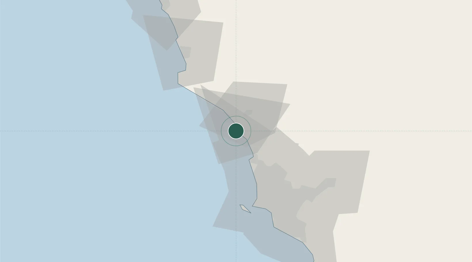
Chancay
-11.5933°, -77.2778°
26,958
Population
3
Transport functions
1
Container terminals
Transport Functions
Port
Rail
Road
Hub Profile
Place type
District seat
Region
Lima region
Population
26,958
Time zone
America/Lima
Elevation
34 m
Logistics facilities
1
Container terminals
1
Location
Nearby Logistics Neighbours
Cities
- 1Huaral15 km
- 2Ancón23 km
- 3Callao50 km
- 4Lima57 km
- 5San Isidro63 km
Ports
- 1Bahia De Ancon20 km
- 2La Pampilla Oil Terminal41 km
- 3Puerto Del Callao53 km
- 4Puerto De Huacho65 km
- 5Conchan Oil Terminal71 km
Airports
Trade Zones
- 1Zona Especial de Desarrollo Matarani (Special Development Zone of Matarani)821 km
- 2Zona Especial de Desarrollo Paita (Special Development Zone of Paita)836 km
- 3Cobija Commercial and Industrial Free Zone926 km
- 4Zona Franca del Oro967 km
- 5Zona Franca de Tacna (Free Trade Zone of Tacna (ZOFRATACNA)1039 km
DatabookThe Record of Consolidated Knowledge
Peru beyond logistics?