Transport Functions
Multimodal
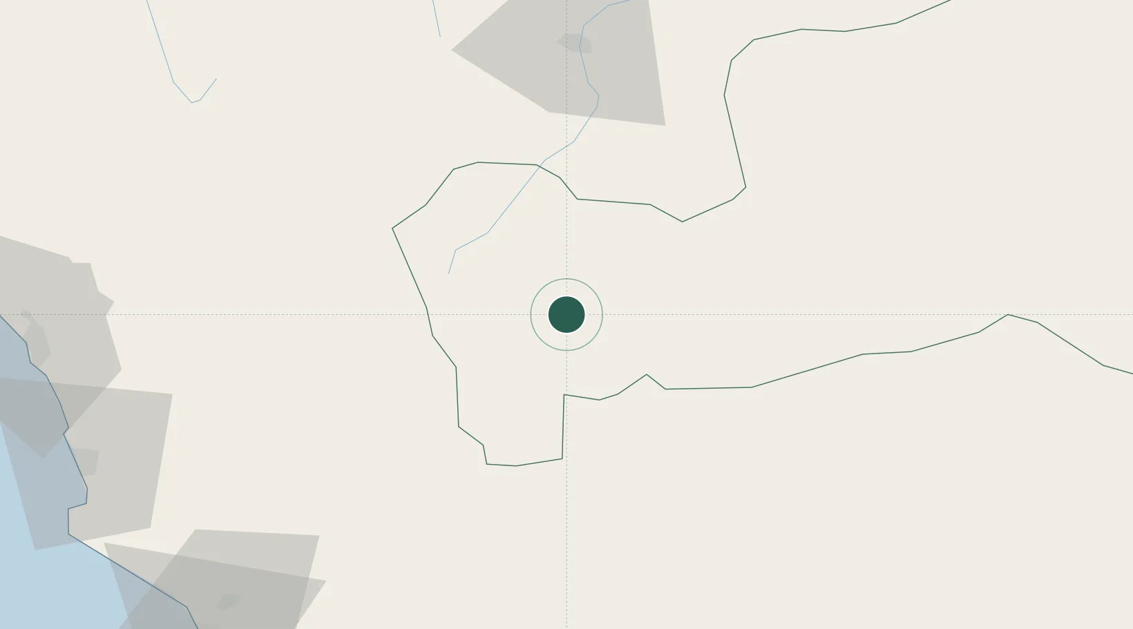
Hub Profile
Place type
Regional capital
Region
Pasco
Population
58,899
Time zone
America/Lima
Elevation
4,457 m
Location
Nearby Logistics Neighbours
Ports
- 1Chancay147 km
- 2Puerto De Huacho155 km
- 3Bahia De Ancon155 km
- 4Puerto Supe163 km
- 5La Pampilla Oil Terminal168 km
Airports
- 1Alferez Fap David Figueroa Fernandini Airport90 km
- 2Pozuzo Airport104 km
- 3Francisco Carle Airport150 km
- 4Jorge Chávez International Airport175 km
- 5Huancayo Airport193 km
DatabookThe Record of Consolidated Knowledge
Peru beyond logistics?