UN/LOCODE hub · Peru
PEHUA

Huaral

-11.4833°, -77.2000°
62,174
Population
2
Transport functions

Transport Functions

Rail
Road
UN/LOCODE

Hub Profile

Place type
District seat
GeoNames
Region
Lima region
GeoNames
Population
62,174
GeoNames
Time zone
America/Lima
GeoNames
Elevation
183 m
GeoNames

Location

Location of PEHUA
Natural Earth 10m (public domain) · Lima region · PEHUA · -11.48, -77.20GoogleOSMYandex

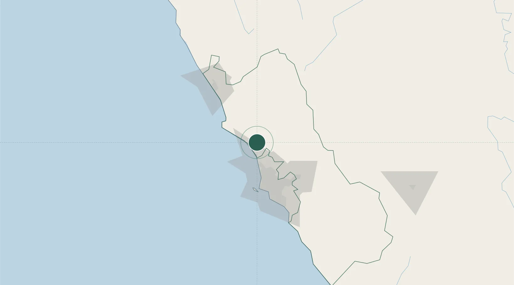
Nearby Logistics Neighbours

Cities
  1. 1Chancay15 km
  2. 2Ancón32 km
  3. 3Callao60 km
  4. 4Lima65 km
  5. 5San Isidro72 km
Nearest neighbours — logibook spatial index (haversine) over the source coordinates
Ports
  1. 1Chancay12 km
  2. 2Bahia De Ancon30 km
  3. 3La Pampilla Oil Terminal51 km
  4. 4Puerto De Huacho61 km
  5. 5Puerto Del Callao63 km
Nearest neighbours — logibook spatial index (haversine) over the source coordinates
Airports
  1. 1Jorge Chávez International Airport61 km
  2. 2Francisco Carle Airport191 km
  3. 3Alferez Fap David Figueroa Fernandini Airport209 km
  4. 4Huancayo Airport227 km
  5. 5Pozuzo Airport239 km
Nearest neighbours — logibook spatial index (haversine) over the source coordinates
DatabookThe Record of Consolidated Knowledge
Peru beyond logistics?
Browse databook

All Sources

LocationsUN/LOCODE
UN/LOCODE — free
LocationsGeoNames
CC BY 4.0
Portsthe NGA World Port Index
Public domain (US gov)
AirportsOurAirports
Public domain
Trade Zonesthe World Bank SEZ database
CC BY 4.0
Trade ZonesOpen Zone Map
CC BY
← Peru locations