Transport Functions
Multimodal
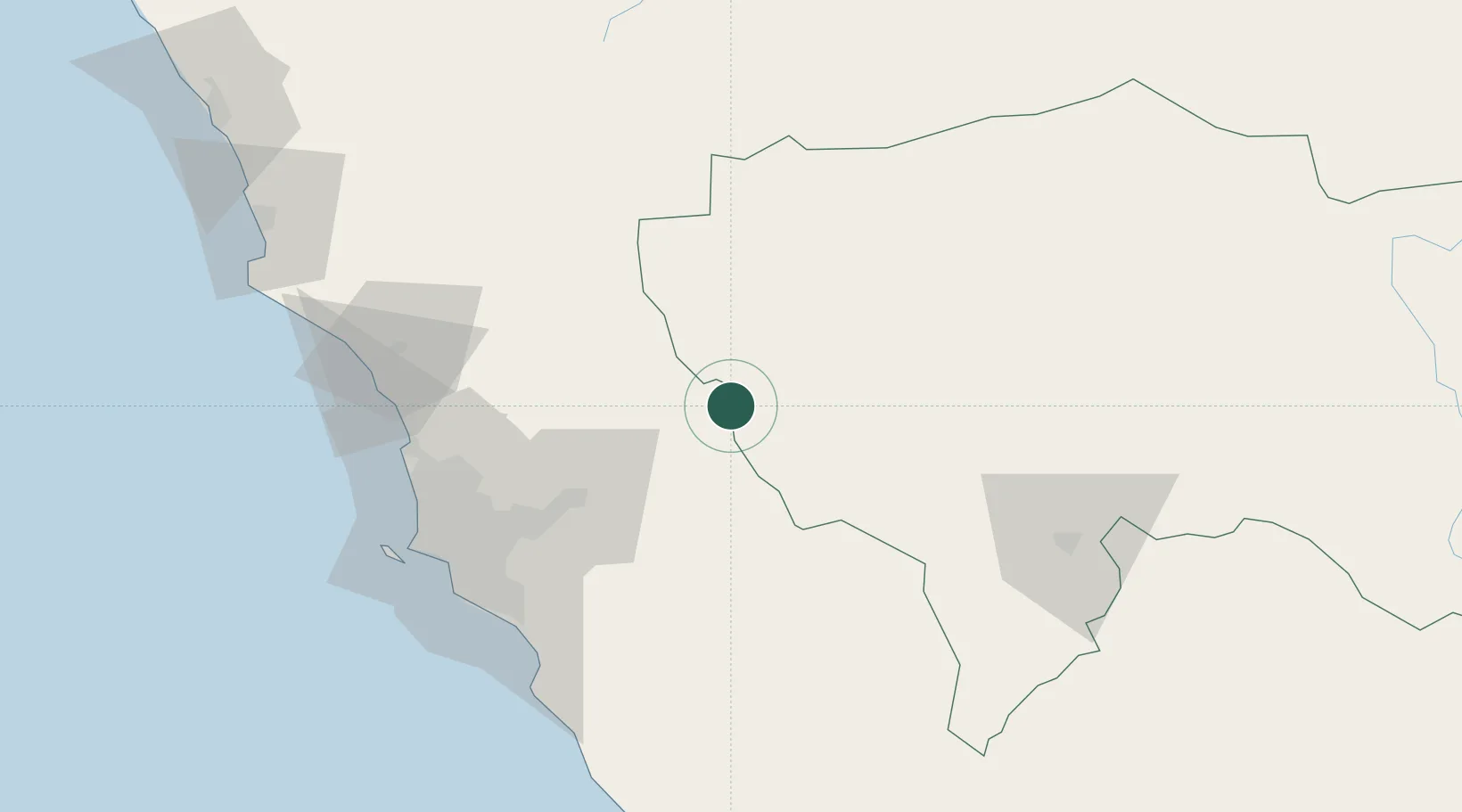
Hub Profile
Place type
Populated place
Region
Lima region
Time zone
America/Lima
Elevation
4,583 m
Location
Nearby Logistics Neighbours
Cities
- 1Quinches73 km
- 2Monterrico Chico96 km
- 3Lima101 km
- 4San Bartolo102 km
- 5Ancón104 km
Ports
- 1Conchan Oil Terminal103 km
- 2La Pampilla Oil Terminal105 km
- 3Bahia De Ancon106 km
- 4Puerto Del Callao111 km
- 5Chancay113 km
Airports
- 1Francisco Carle Airport82 km
- 2Jorge Chávez International Airport106 km
- 3Huancayo Airport120 km
- 4Pozuzo Airport190 km
- 5Alferez Fap David Figueroa Fernandini Airport197 km
Trade Zones
DatabookThe Record of Consolidated Knowledge
Peru beyond logistics?